Popular
Total views: 500+
Guide price
£175,000Property for sale
Sutton-On-Trent, Newark, Nottinghamshire
Featured
Property
26.56 acre(s)
Key information
Features and description
6.5 miles Newark | 8.5 miles Ollerton | 9.5 miles Lincoln | 19.0 miles Nottingham
For sale as a whole at a guide price of £175,000
SITUATION
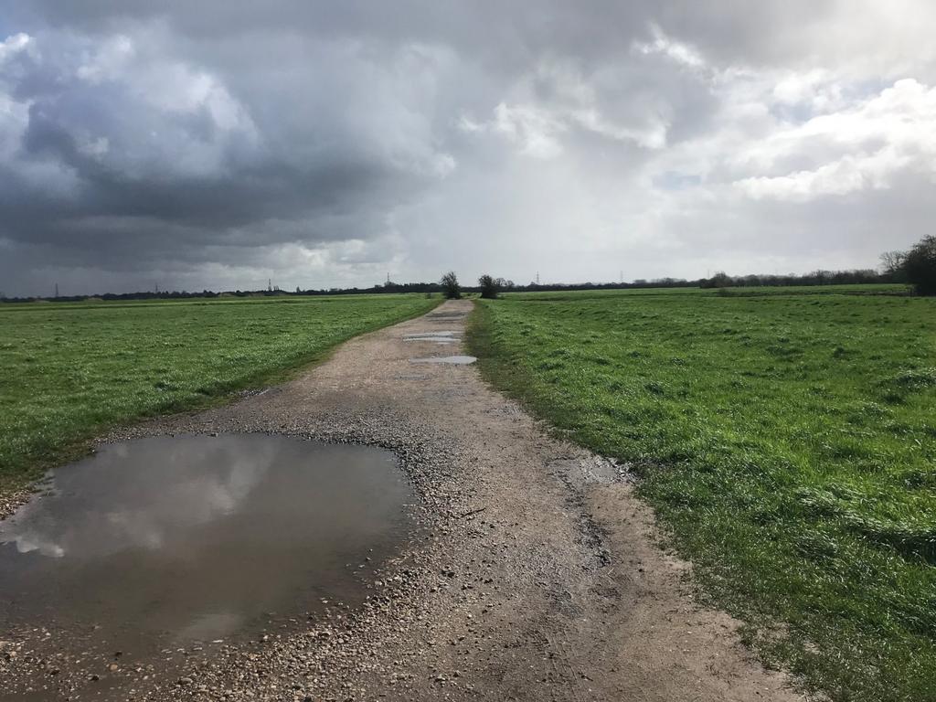
The land is located on the banks of the River Trent on the edge of Sutton-on-Trent, with the regional centres of Newark and Lincoln nearby. The property is accessed via Far Holme Lane, an unmade track.
DESCRIPTION
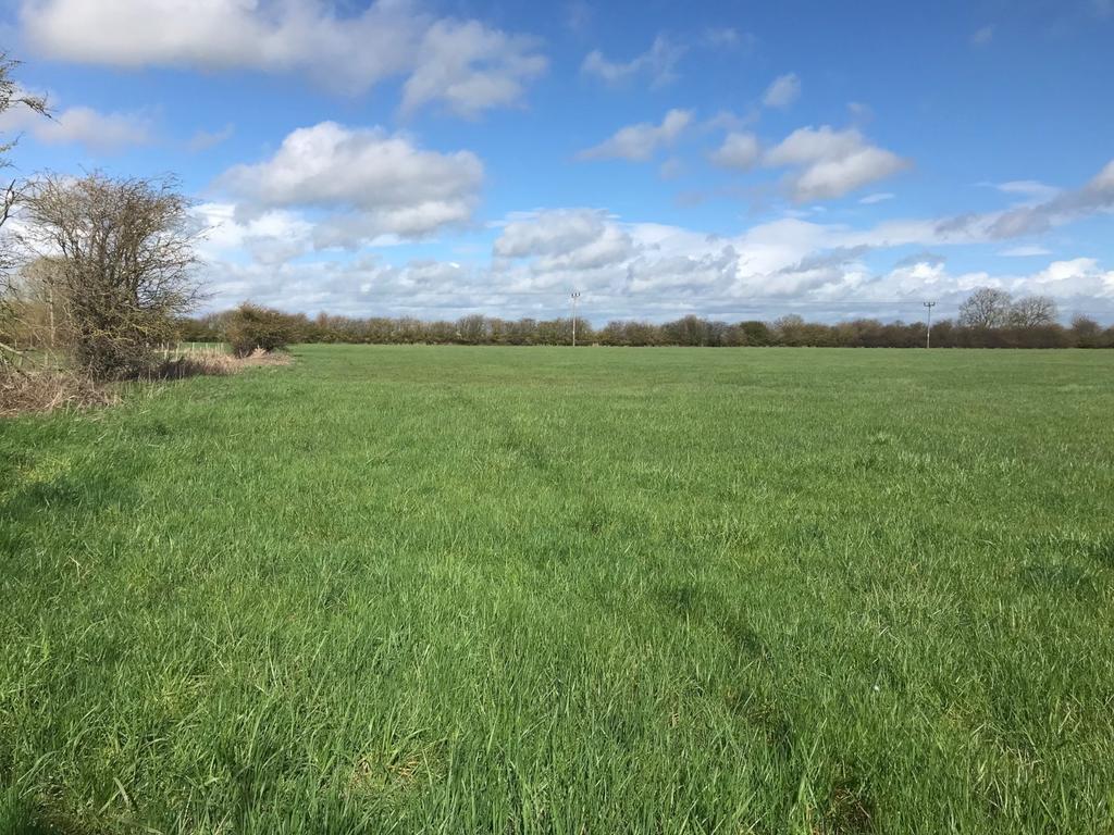
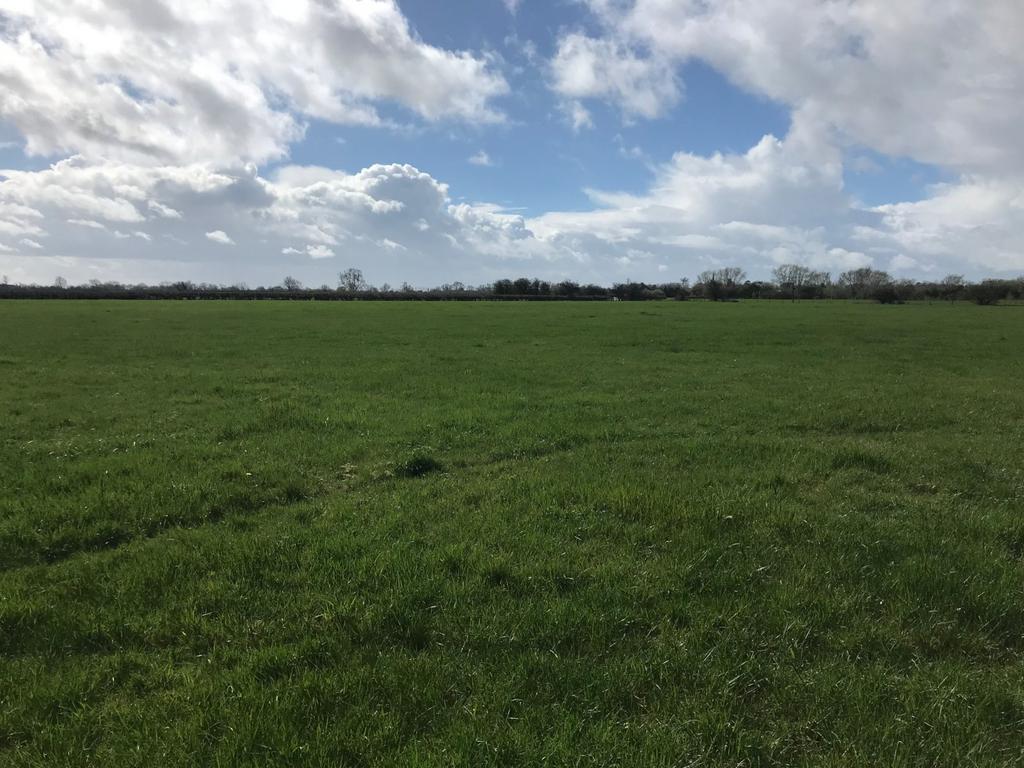
The land, coloured red on the plan, extends in total to approximately 10.75 hectares (26.56 acres) and comprises two parcels of grassland with fishing rights. The land is classified as Grade 3 according to the Agricultural Land Classification Maps for England and Wales and is currently subject to a Countryside Stewardship Application ending in December 2024.
The land is laid to permanent pasture and has been grazed on an annual licence. Further details are available from the agent.
Parts of the property are occupied under a fishing licence with an annual licence fee of £700, which includes the riverbanks of the River Trent and a parking area for up to six vehicles. A copy of this licence is available from the agent.
GENERAL
METHOD OF SALE
The property is offered for sale by private treaty as a whole.
TENURE
The land is for sale freehold subject to the existing licences.
SERVICES
There are no mains services connected to the land.
WAYLEAVES, EASEMENTS AND RIGHTS OF WAY
The property is sold subject to and with the benefit of all rights. A number of footpaths run adjacent to or across the land. Further details are available from the agent.
BASIC PAYMENT SCHEME
Entitlements are not included in the sale.
COUNTRYSIDE STEWARDSHIP SCHEME
The land is subject to a Lowland Grazing Countryside Stewardship agreement (ref. AG718455) ending on 21/12/2024.
OVERAGE
The Vendors and their successors in title, will retain 30% of any uplift in value as a result of any planning permission other than for agricultural use for a period of 40 years from completion of the sale. The Overage will be payable upon implementation of the permission or upon a sale of the property with the benefit of said permission, whichever is earlier.
DESIGNATIONS
The land is within a Nitrate Vulnerable Zone (Surface Water S320) and within a SSI Impact Risk Zone.
SPORTING, TIMBER AND MINERAL RIGHTS
All sporting, timber and mineral rights are included in the freehold sale, in so far as they are owned.
DRAINAGE RATES
The land lies within the Trent Valley Internal Drainage Board and drainage rates are payable to this authority. For 2022/23 these were £164.35.
DIRECTIONS
Please see location plan within the particulars.
//what3words:files.fizzle.eternally
FURTHER INFORMATION
Please contact the agents - Rob Wilkinson
[use Contact Agent Button]
at the Stamford office for further information.
VIEWING
Strictly by appointment with the Vendor's agent, Strutt & Parker in Stamford -[use Contact Agent Button].
SOLICITOR
Tallents Solicitors, 3 Middle Gate, Newark, Nottinghamshire, NG24 1AQ
For the attention of Alistair Miller
[use Contact Agent Button]
[use Contact Agent Button]
Property information from this agent
About this agent

One of the UK’s leading agents in selling, buying and letting town and country houses and cottages, London houses and flats, new homes, farms and estates
and residential development land around the country with expert local knowledge backed up by national expertise to ensure a quality service. With a network
of over 50 offices nationwide, and 11 offices in Central London, plus our international reach through our memberships with Leading Real Estate Companies of
the World® and Luxury Portfolio International, we are well placed to handle any property requirement.


