Guide price
£80,000Land for sale
Stoneyford, Cullompton
Featured
Land
0.81 acre(s)
Key information
Tenure: Freehold
Council tax: Ask agent
Features and description
- Tenure: Freehold
- Land Adjoining Cullompton Settlement Boundary
- 0.81 Acres (0.33 Hectares)
- Mains Water
- Level Site
- Near to the M5 (J28)
- Freehold
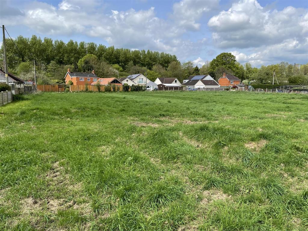
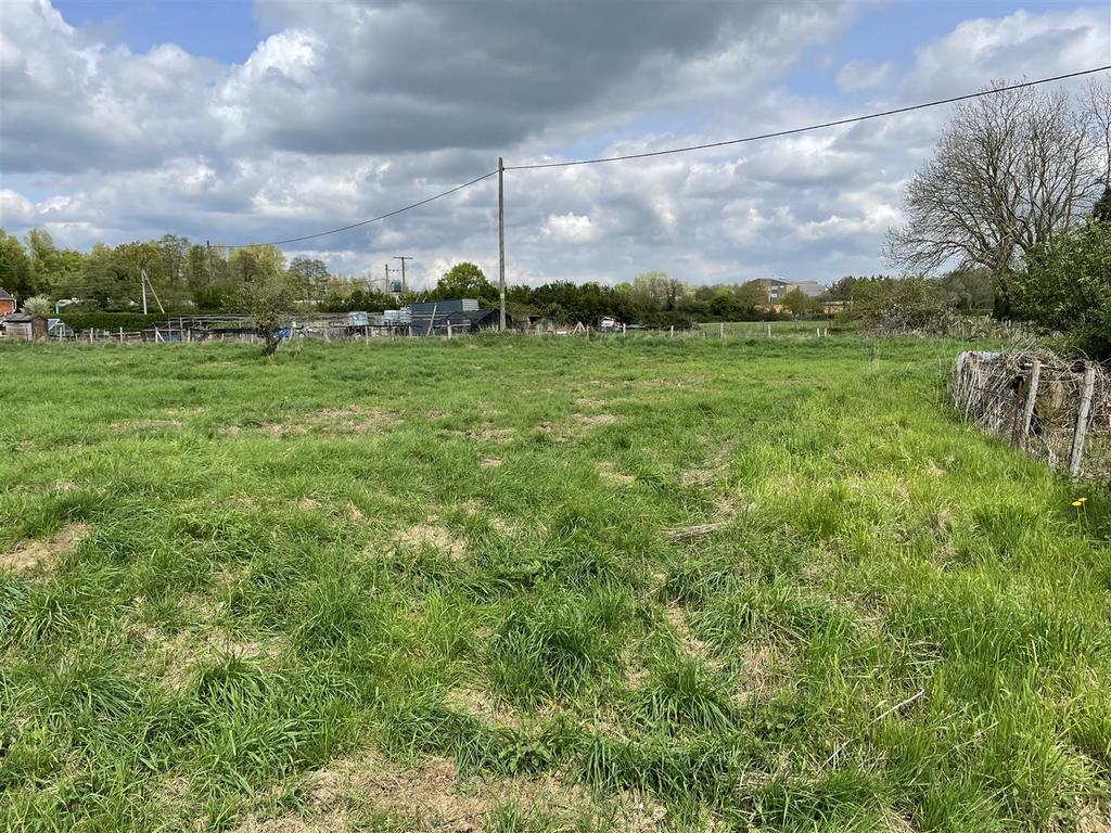
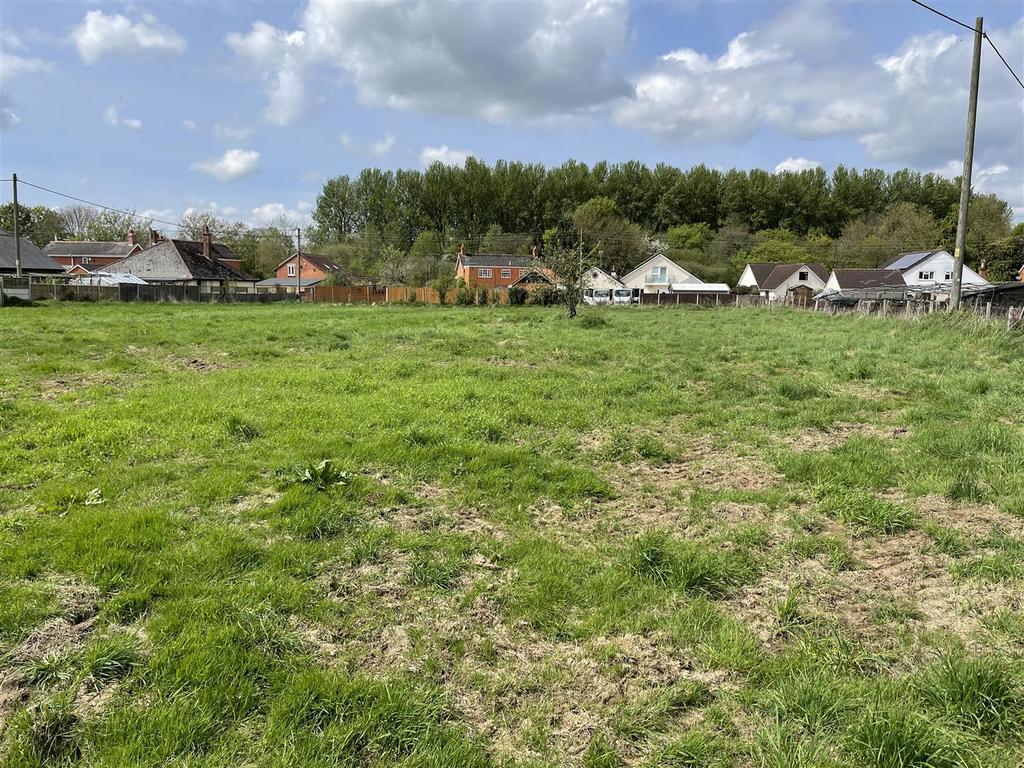
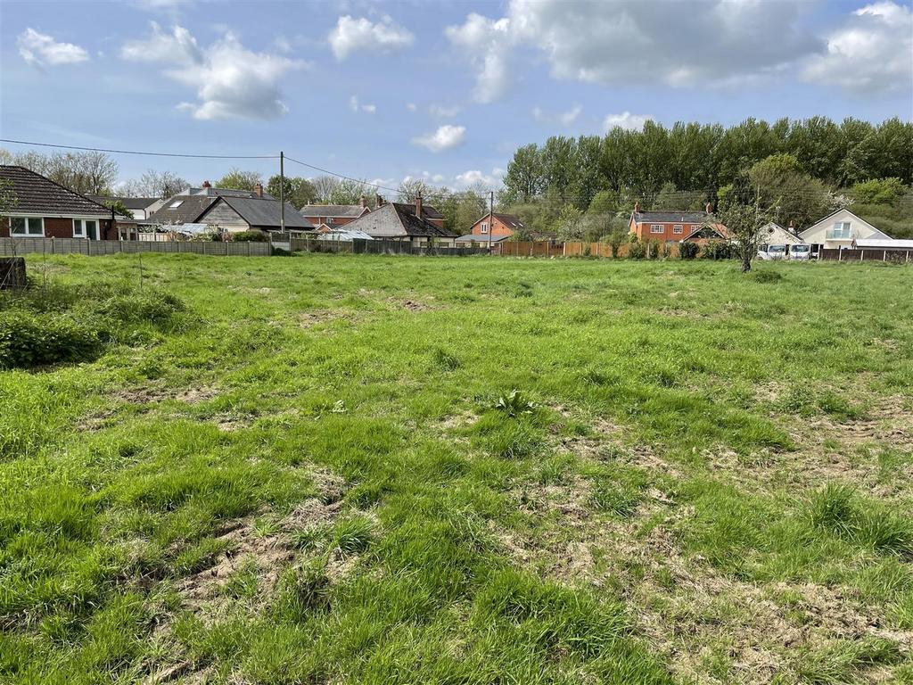
A level grass paddock positioned adjoining the settlement boundary of Cullompton. 0.81 acres (0.33 hectares). Near to the M5 (Junction 28). Mains water connected. For sale by private treaty. FREEHOLD.
Situation - The land is situated within an area known as Stoneyford on the eastern edge of Cullompton in Mid Devon and approximately 0.3 miles west of Junction 28 of the M5 motorway.
Cullompton town centre is 0.7 miles to the west of the land.
Description - The land adjoins the settlement boundary for Cullompton and totals approximately 0.81 acres (0.33 hectares).
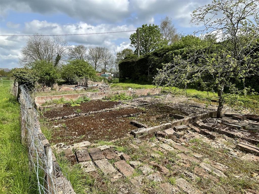
It comprises a level grass paddock within a primarily residential area with gates on to access lanes which adjoin both the eastern and western boundaries.
Services - Mains water is connected to the land. There is an electricity supply pole within the land.
Access - There are two lanes used for accessing the land which adjoin the eastern and western boundaries. These lanes lead to the A373.
Tenure - The land is registered on the Land Registry and is owned freehold (possessory title).
Vacant possession will be available from the completion date.
Method Of Sale - The land is offered for sale by private treaty.
Overage - The land will be sold subject to a development uplift (overage) provision on the following terms: Upon planning consent being granted for any residential or commercial use within a 30 year period from the completion date, the sellers will receive 25% of the increase in value (assessed by an independent valuer).
Local Authority - Mid Devon District Council. [use Contact Agent Button].
Designations - The land is within Flood Risk Zone 2 and is within a Nitrate Vulnerable Zone (NVZ).
Wayleaves & Rights Of Way - The property is sold subject to and with the benefit of any wayleave agreement and any public or private rights of way that may affect it.
There are no footpaths or bridleways passing across the land.
Land Plan - A plan which is not to scale, is included with these sale particulars for identification purposes only.
Viewing - Viewing is strictly by prior appointment. Please contact Stags[use Contact Agent Button] or [use Contact Agent Button]) to arrange an appointment.
Directions - From Junction 28 of the M5 motorway at Cullompton proceed east towards Honiton on the A373. After 350 yards the entrance lane leading to the land will be found on the left.
Continue for about 80 yards the land will be found on the right.
What3words - ///unlocking.alien.ladders
Disclaimer - These particulars are a guide only and are not to be relied upon for any purpose.
Property information from this agent
About this agent

Focusing solely on the sale of farms and land, Stags Farm Agency staff offer prospective vendors and purchasers a combination of in-depth local knowledge and professional expertise, which enables them to deliver exceptional advice. By working alongside Stags other rural departments, including residential property, professional services and livestock sales/auctions, the farm agency team can draw on their colleagues’ specialist knowledge, creating a complete package of skills.


