Guide price
£330,000Land for sale
Land at Blake Laws, Middlehope, St Johns Chapel
Land
166.61 acre(s)
Key information
Features and description
- Tenure: Freehold
- A ring fenced block of land
- Roadside access
- Natural water supplies
- Early viewing recommended
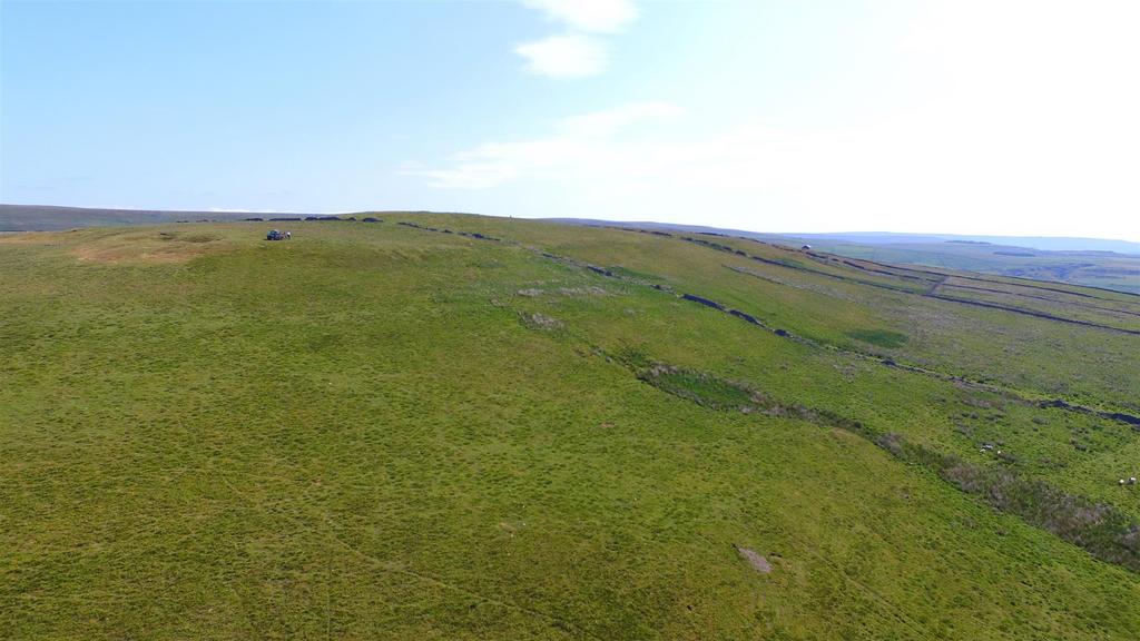
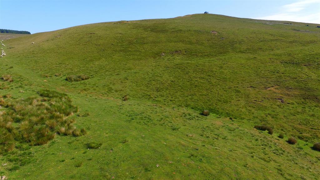
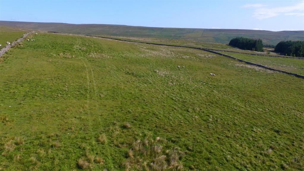
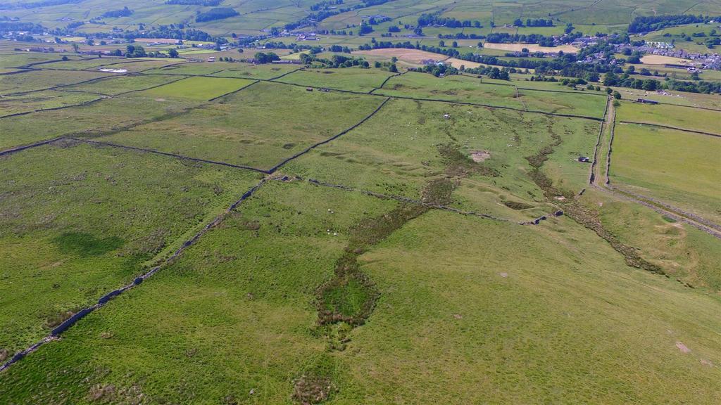
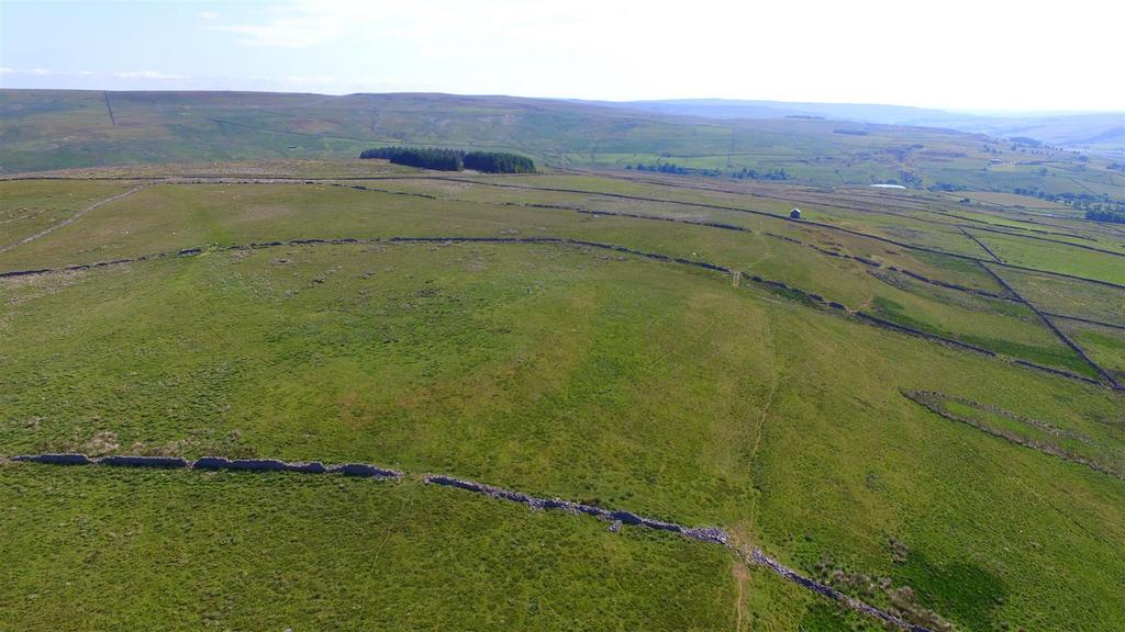
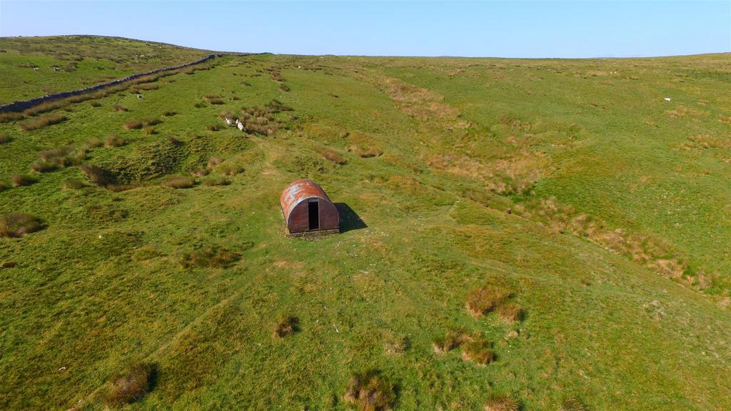
An excellent opportunity to purchase a ring fenced block of upland grazing extending to approximately 67.43 hectares (166.61 acres) with roadside access and natural water supplies.
The land is situated in Weardale to the north of St Johns Chapel and offers opportunities for the purchaser to explore the new environmental, biodiversity and carbon offsetting markets.
LOCATION
The land is situated in Weardale in County Durham and lies approximately 1.5 miles to the north of St Johns Chapel in the North Pennines Area of Outstanding Natural Beauty.
The location is identified by a red circle on the location plan.
DIRECTIONS
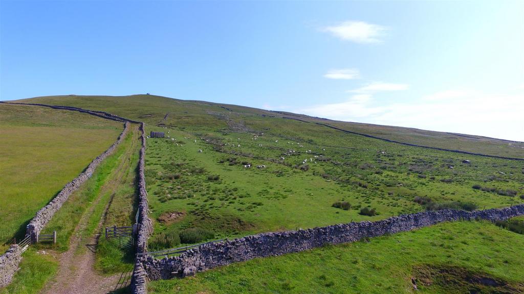
The land is accessed directly from a track leading from the public highway known as Sidehead at Carr Brow with further access being provided from a Byway Open to All Traffic known as Seeingsike Road. The access tracks are shown in yellow on the Sale Plan.
What3Words
Seeingsike Road access point– paler.flatten.pound Land access point -zone.prospered.nuns
Sidehead Road onto access track – hypnotist.snake.tutorial
Access onto land - same.compacts.reputable
DESCRIPTION
An excellent opportunity to purchase a ring fenced substantial block of upland grazing extending to 67.43 hectares (166.61 acres) in total.
The land is divided into nine field parcels, which benefit from roadside access and stockproof boundaries.
The boundaries are predominantly stone walls.
The land is classified as Grade 5 and is described as slowly permeable seasonally wet acid loamy and clayey soils.
ACREAGES
The gross acreages have been assessed in accordance with Ordnance Survey data, interested parties should satisfy themselves in this regard.
PUBLIC RIGHTS OF WAY
The land is crossed by a public footpath leading from the south west to the north east of the parcel. This is shown on the sale plan by a hatched green line.
Furthermore, part is designated as open access land under the Countryside and Rights of Way Act. These fields are shown marked blue on the sale plan.
BASIC PAYMENT SCHEME & STEWARDSHIP
The land was registered for the Basic Payment Scheme.
Most of the land is entered into a Mid Tier Countryside Stewardship Scheme, until 2027. Further details can be obtained from the selling agent.
NITRATE VULNERABLE ZONE
The land is not located in a Nitrate Vulnerable Zone.
SPORTING MINERAL AND OTHER RIGHTS
The sporting rights are owned and in hand.
Mines and mineral rights are excluded from the sale as they are in third party ownership.
COSTS
Each party is to bear their own costs.
BURDENS
The property is sold subject to all rights including rights of way, whether public or private, rights of light, support, drainage, water and electricity and other rights, obligations and easements and quasi easements and restrictive covenants and all existing and proposed wayleaves for masts, pylons, stays, cables, drains and water, gas and other pipes, whether or not constituted in the title deeds or referred to in these particulars.
The purchaser will be held to have satisfied themselves as to the nature of such burdens.
MONEY LAUNDERING
Prospective buyers should be aware that if they are successful they will be required to provide documents in relation to the current Money Laundering and Terrorist Financing Regulations. The extent of the required documentation will be confirmed to the purchaser(s) after acceptance of an offer.
TENURE
The land is available freehold with vacant possession upon completion.
METHOD OF SALE
The property is offered for sale as a whole by private treaty.
VIEWINGS
Please contact Vickers & Barrass Darlington office on[use Contact Agent Button] to arrange a viewing, which are strictly by appointment only.
LOCAL AUTHORITY
Durham County Council
[use Contact Agent Button]
Property information from this agent
About this agent

Vickers & Barrass Chartered Surveyors - Darlington
Humbleton Park, West Auckland Road
Darlington
DL2 2YH
01325 617396Vickers and Barrass are a firm of Rural Chartered Surveyors and Estate Agents offering a professional land agency and surveying service throughout the North East of England to farmers, estates and land owners alongside a professional sales and lettings service for residential and commercial property throughout the region. T H Vickers Limited was originally established by Harry Vickers in 1973. In September 2012 the business was acquired by Darlington Farmers Auction Mart Limited to provide a land agency service and the brand name of Vickers and Barrass was formed. In August 2018 the firm expanded further to merge with Broadley and Coulson. Vickers and Barrass is now managed by Adam Barrass MRICS FAAV.


