Woodland
Key information
Features and description
- Tenure: Freehold
- Woodland located on the edge of the stunning South Downs National Park
- This woodland is not suitable for residential use.
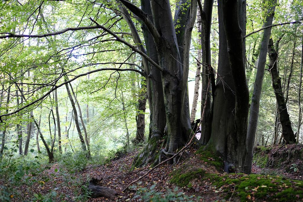
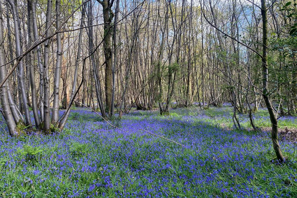
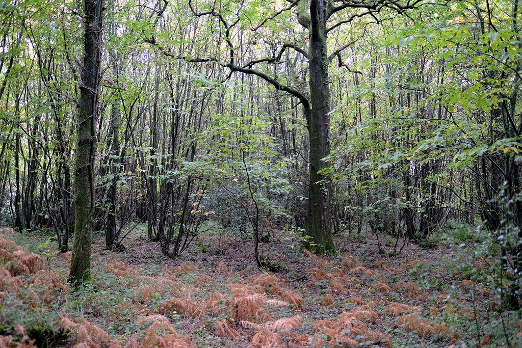
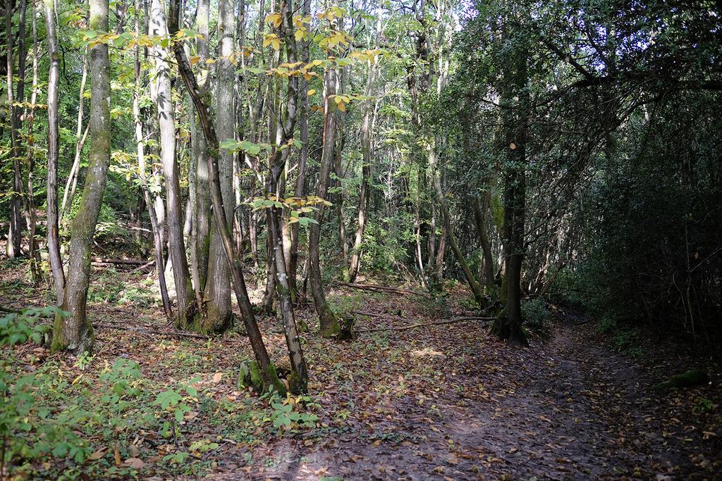
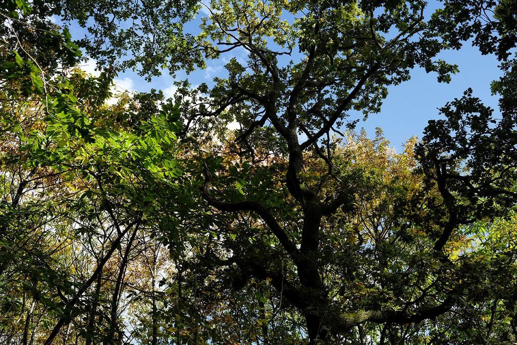
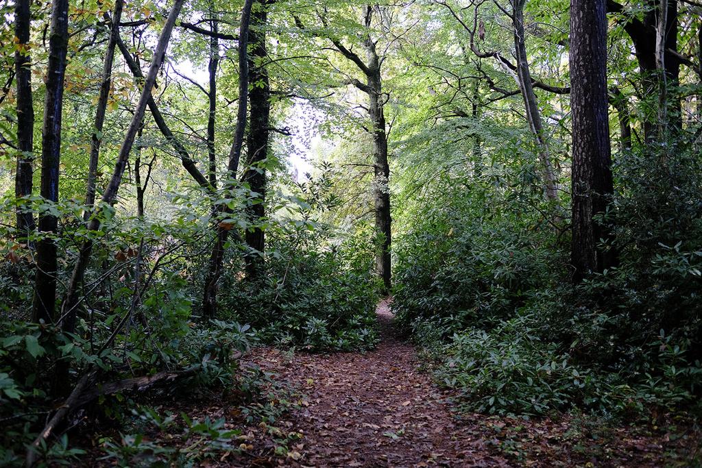
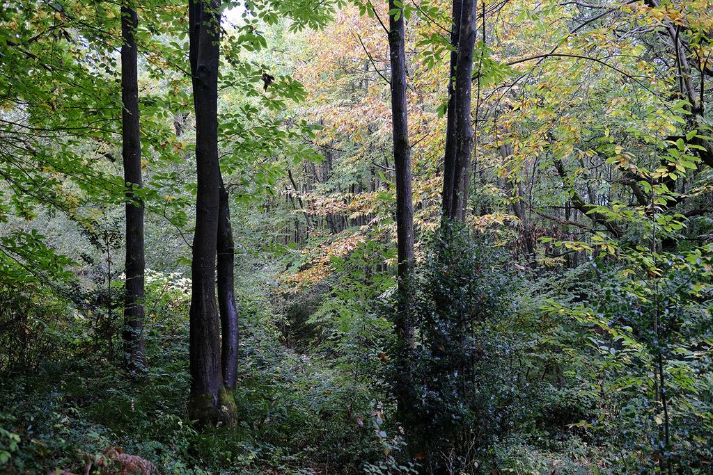
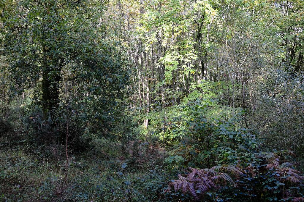
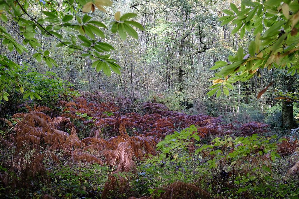
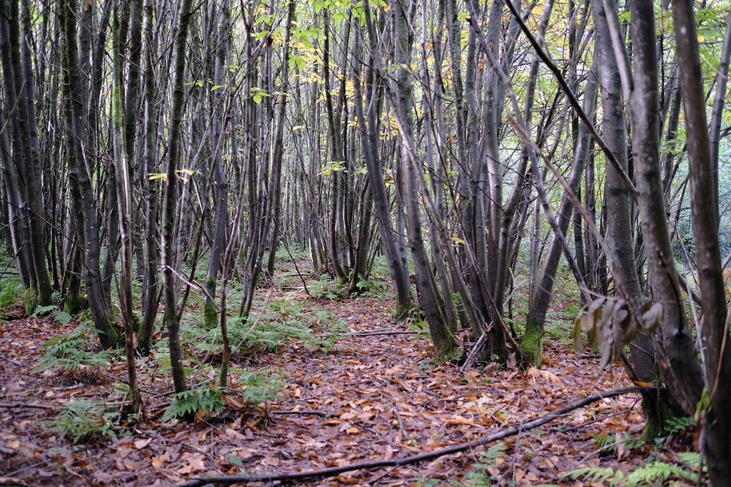
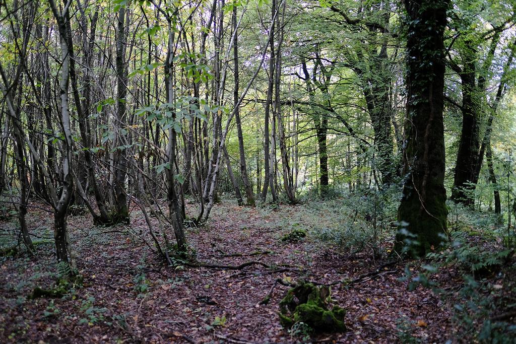
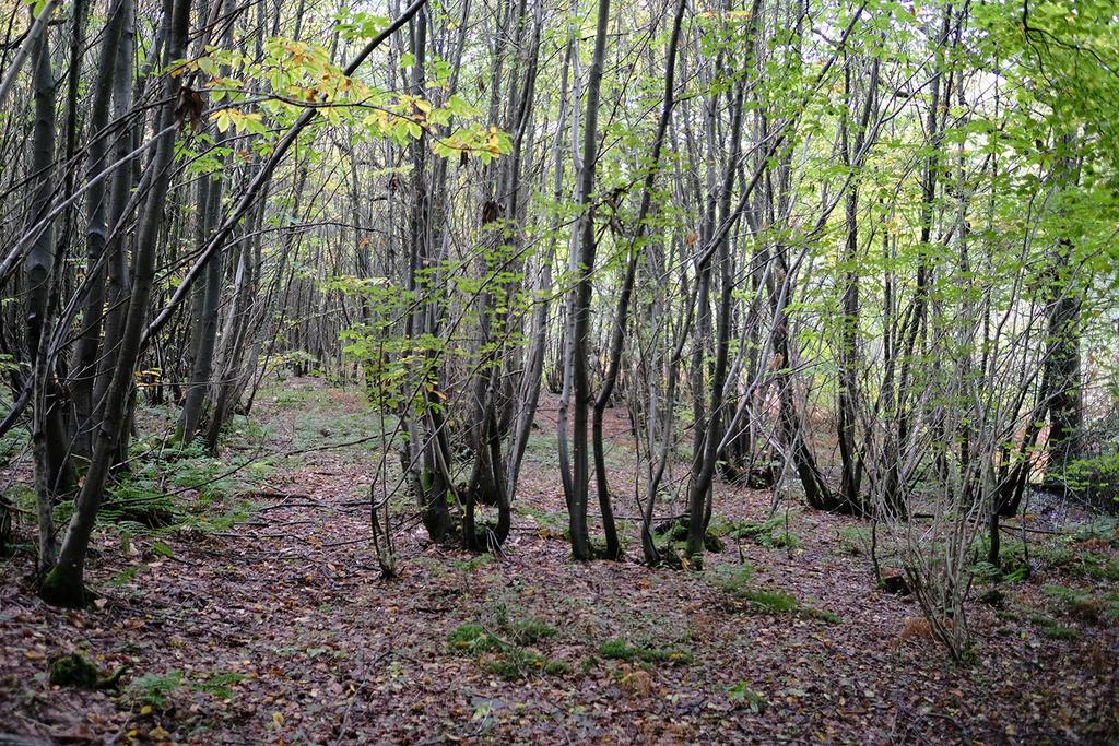
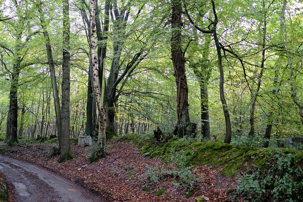
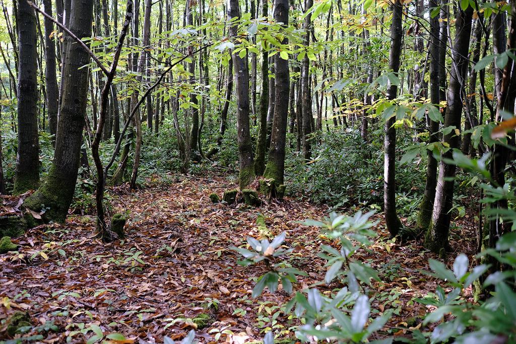
Ridge Plantation is a secluded woodland located on the edge of the stunning South Downs National Park. This forest, primarily composed of chestnut coppice of various ages, also boasts impressive oak, beech, and a towering Douglas fir on its western edge. Elsewhere, you'll find cherry, pine, holly, and an array of ferns and other flora at ground level, with bluebells carpeting the floor in season.
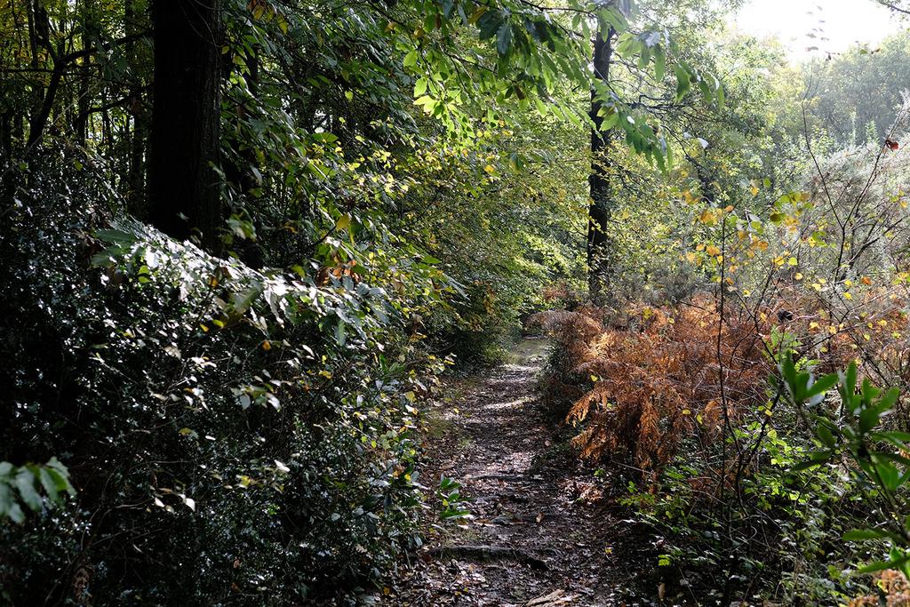
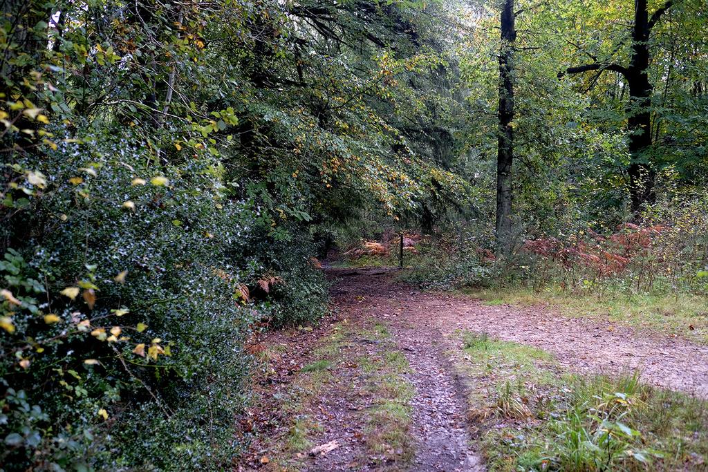
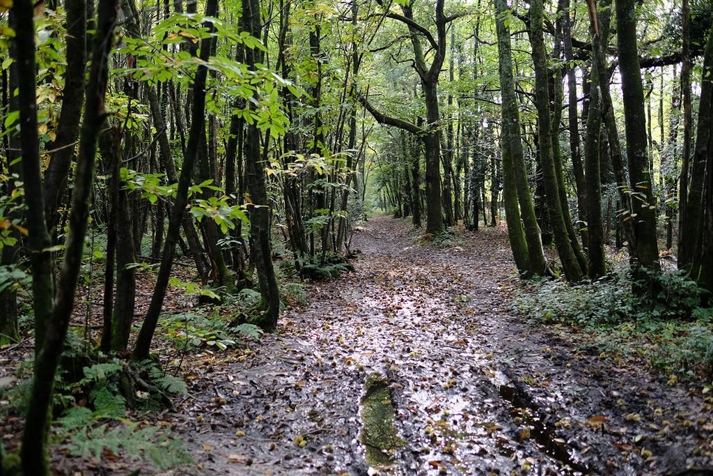
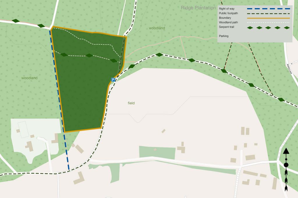
Well-used paths meander through the northern section of the site, including a segment of the Serpent Trail, a 64-mile serpentine route that starts in Haslemere on the Sussex-Surrey border and ends in Petersfield, passing through picturesque forests and heathland.
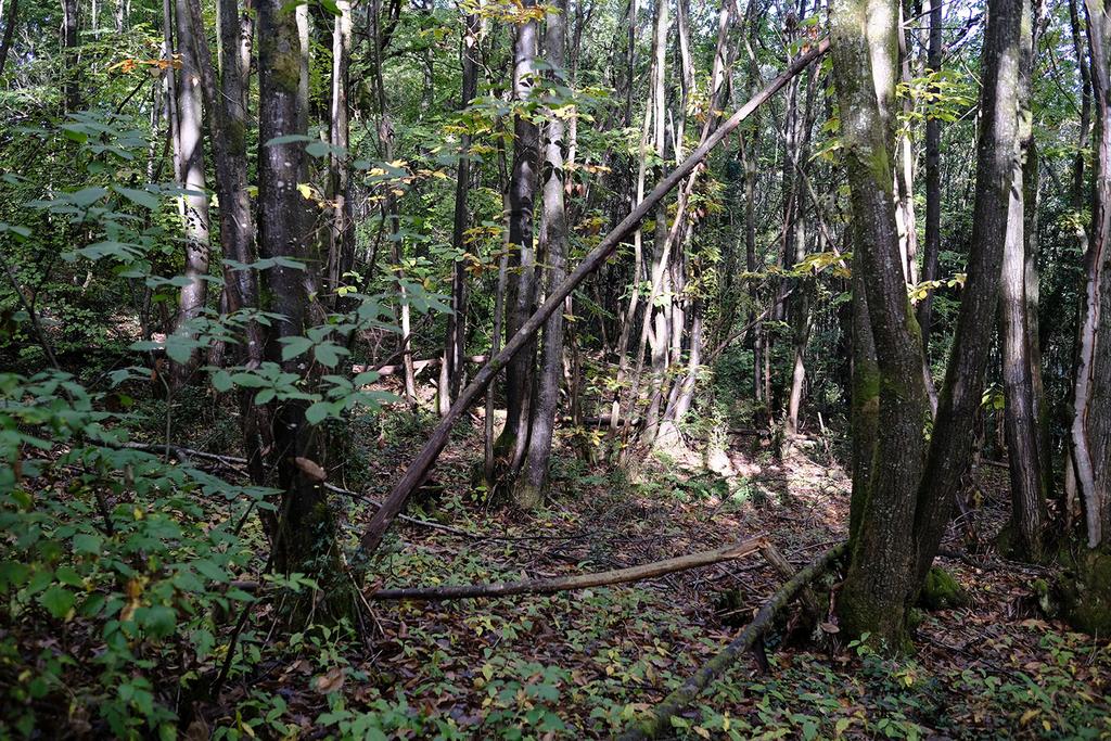
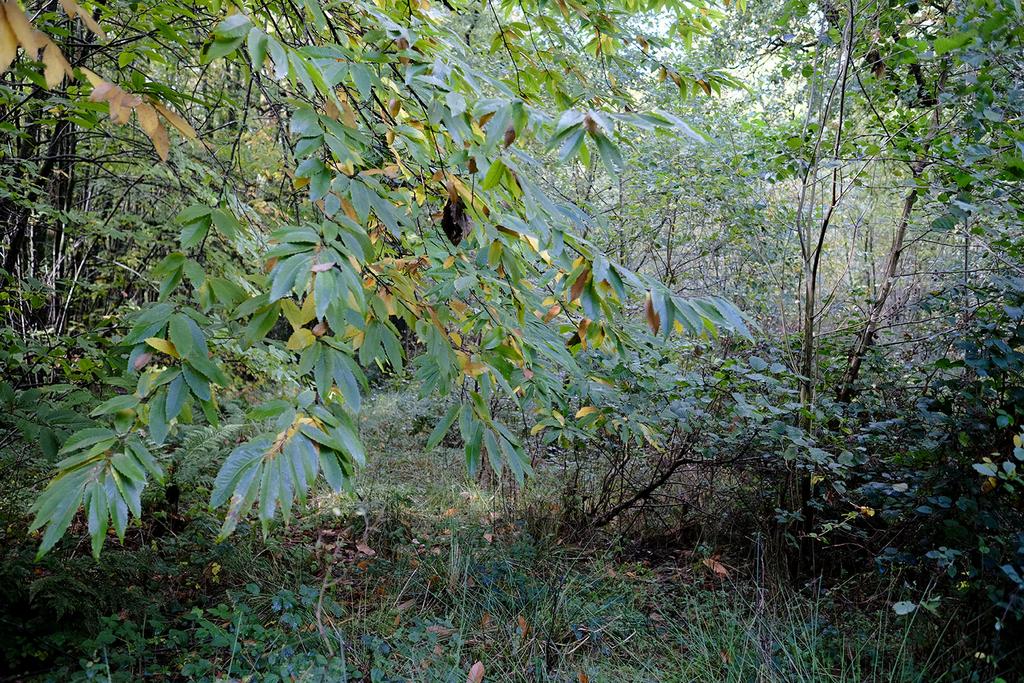
The southern part of the woodland consists mostly of younger coppice, which will become a valuable resource in time. The more mature coppice is now ready for selective harvesting. Clearings scattered throughout the area provide perfect spots for camping and woodland activities.
From the northeast corner of Ridge Plantation, a footpath leads to the outskirts of Haslemere, where you'll find shops and a charming pub, The Mill. With easy access to the A3, both London and the south coast are within convenient reach.
Ward is Fernhurst and the county council is West Sussex
Boundaries: To the north, west and south the boundary is fenced and borders private property. East is open and follows the public bridleway and a quiet country lane.
Access: There is vehicle access via a wide track, marked in blue on the map. Parking is also possible in the woodland itself.
Viewing: You are welcome to visit this wood by yourself, but please download the details showing the location of the woodland and ensure that you have a copy of these sales details with you. Many of our woodlands do not have mobile phone reception or internet access so we recommend either printing the details or downloading them to your phone or tablet. Please take care when viewing as the great outdoors can contain unexpected hazards and woodlands are no exception.
Directions: Ridge Plantation, Marley Lane, Linchmere, Haslemere
For viewing purposes, please park on the verge of the lane as marked on the map.
Satnav: the nearest postcode is GU27 3PR as shown by the marker on the maps. The main coordinates for access are: 51.075250, -0.744688. W3W ///baths.signature.wing
Please note: the particulars with plans, maps, descriptions and measurements are for reference only and although carefully checked we cannot guarantee their accuracy and do not form part of any contract. Any intending purchasers must satisfy themselves by inspection or otherwise as to the correctness of these particulars.
About this agent

and informative and to make it obvious where the woodland is and where its boundaries are. We also help with the usual issues involved in the legal side of
any land transaction to make sure it goes smoothly.


