Guide price
£175,000Land for sale
Cartmel Fell, Cumbria LA23
Land
35.44 acre(s)
Key information
Tenure: Freehold
Council tax: Ask agent
Features and description
- Tenure: Freehold
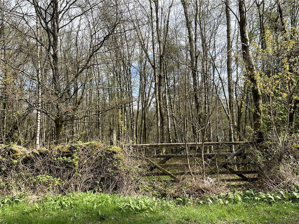
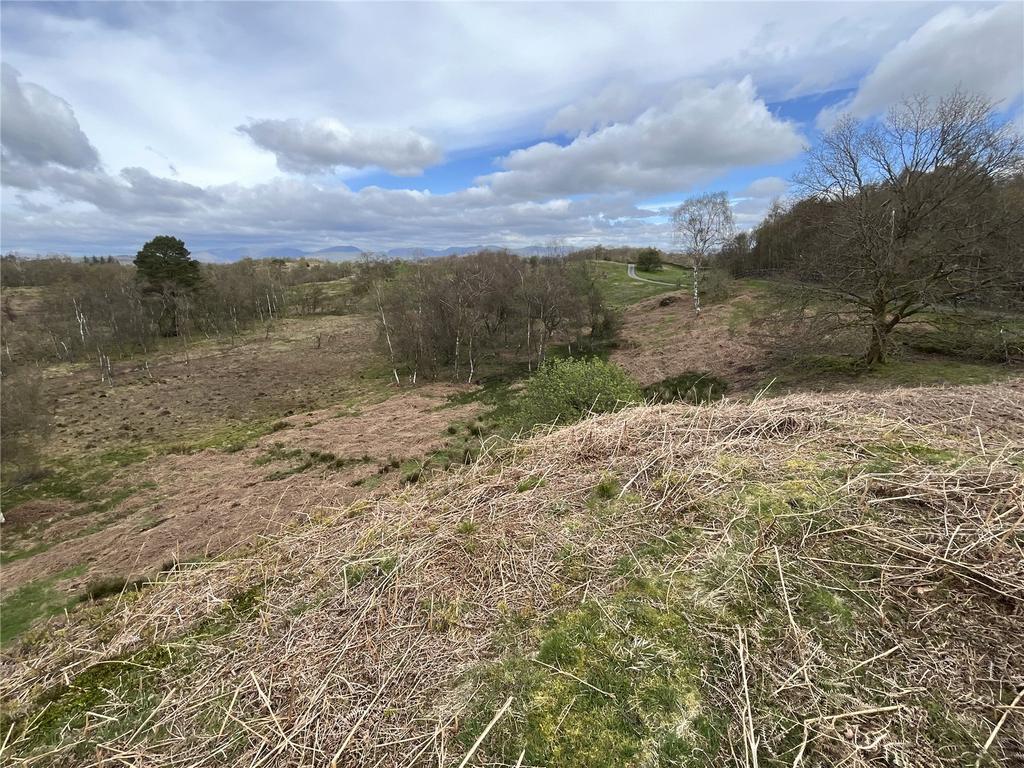
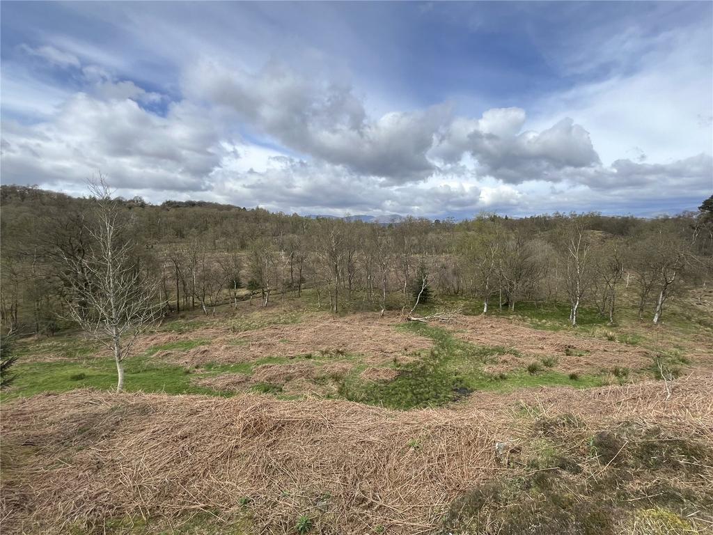
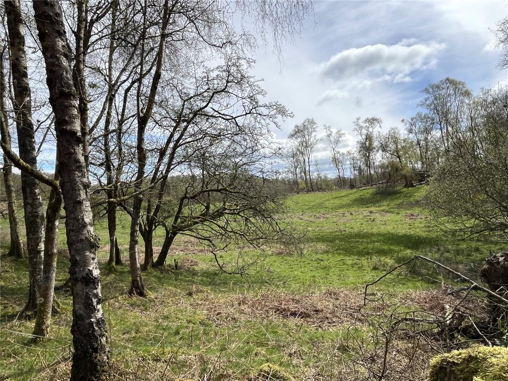
- 35.44 acres (14.34 hectares) of rough pasture and grazing land with areas of woodland.
- Available in two lots or as a whole.
- Both lots benefit from roadside access.
- Natural water supplies.
- Site of Special Scientific Interest (Ludderburn and Candlestick Mires SSSI ref no: 1004089.
- Potential for environmental management and income including biodiversity net gain, woodland creation and environmental schemes.
- Of interest to local property and land owners, farmers and investors.
A fantastic opportunity to purchase rough pasture and amenity woodland located in the Lake District National Park. Offered for sale in two lots or as a whole. Lot 1: 13.20 acres (5.34 ha). £75,000. Lot 2: 22.24 acres (9.01 ha). £100,000. As a whole: £175,000. In all about 35.44 acres
LOT 1
Extending to 13.20 acres (5.34 hectares).
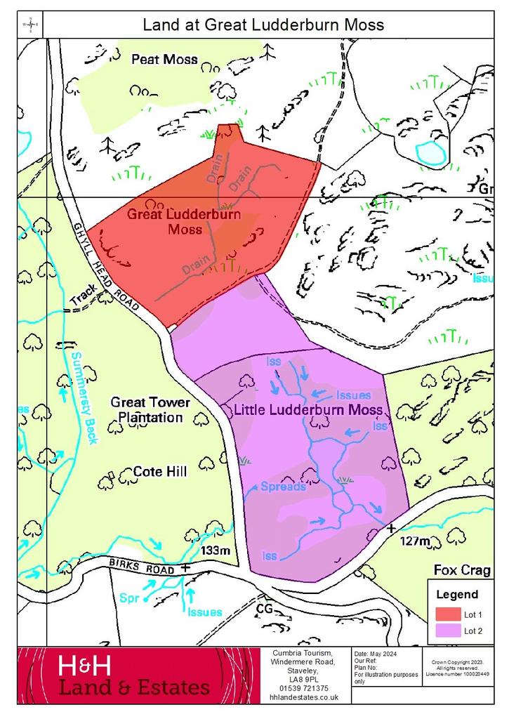
Shaded red on the plan
A single enclosure of rough pasture land, with potential for environmental schemes and/or with potential for biodiversity net gain. The land benefits from natural water supplies and roadside access via Ghyll Head Road and the unclassified road to the south. The land incorporates the unclassified road to the southern end. The land is included within the Ludderburn and Candlestick Mires Site of Special Scientific Interest.
LOT 2
Extending to 22.24 acres (9.01 hectares)
Shaded purple on the plan.
A single enclosure of rough pasture land and woodland, with environmental and scheme income potential. The land benefits from natural water supplies, consisting of a tarn. The land also benefits from roadside access via Ghyll Head Road and an unclassified road to the north. Boundaries consist of stock proof walls. There is a public footpath along the eastern boundary which crosses the north east corner. The land is also included within the Ludderburn and Candlestick Mires Site of Special Scientific Interest.
Directions
From Windermere head south onto the A5074 for approximately 1 miles, before taking the first exit onto the A592. Continue along the A592 for approximately 3 miles, then turn left onto Ghyll Head Road. Continue for approximately 1 miles and the land is located on your left.
Location
The land is located approximately 5 miles south of Windermere and approximately 2 miles west of Winster.
Grid reference: SD[use Contact Agent Button]
What3Words: denoting.elevator.fans
Services
Water Supplies
The land benefits from natural water supplies.
Wayleaves and Easements
The sale is subject to all the exiting rights of way, drainage, light air support and other easements and quasi-easements and outgoings whether mentioned in these particulars or not.
Tenure
Freehold.
Vacant possession upon completion.
Sporting Rights
The sporting rights are excluded from the sale and are reserved to the vendor.
Restrictive Covenants
There is a restrictive covenant over the land restricting its use to agricultural land or any purpose for which express planning permission is required, subject to an average of 50% of the uplift in market value, applicable until July 2035.
Sale Plans
The Sale Plan has been prepared by the Selling Agent for the convenience of the prospective purchasers. It is deemed to be correct, but any error, omission or misstatement shall not affect the sale. Purchasers must satisfy themselves as to accuracy.
Boundaries
The ownership and maintenance of the boundaries are indicated with the “T” marks on the sale plan. Where no “T” marks are shown, the responsibilities are unknown.
Environmental Stewardship Schemes
The land is free from any Environmental Stewardship Schemes and therefore the new owners have the ability to apply for such schemes and income opportunities.
Local Planning Authority
Lake District National Park. Tel [use Contact Agent Button]
Viewing
The land may be viewed at any reasonable time provided a copy of these particulars are in possession.
About this agent

H&H Land & Estates are one of the Norths leading property experts. We are an independent Estate, Lettings and Land Agents with an extensive heritage offering a depth of knowledge and experience unrivalled in the local markets. This combined with our comprehensive range of services for buyers, sellers, landlords and tenants ensures our offices are the first port of call for clients across Cumbria, Durham, North Yorkshire and the Scottish Borders.
Similar properties
Discover similar properties nearby in a single step.


