Offers over
£350,000Property for sale
Green Lane, Newton Abbot TQ13
Virtual tour
Property
Key information
Features and description
- 10 Acre historic site in idyllic location
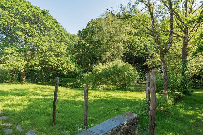
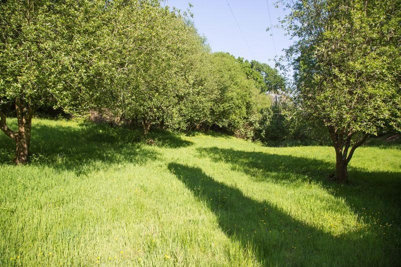
- Wildflower Meadow and Woodland
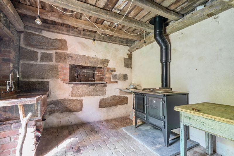
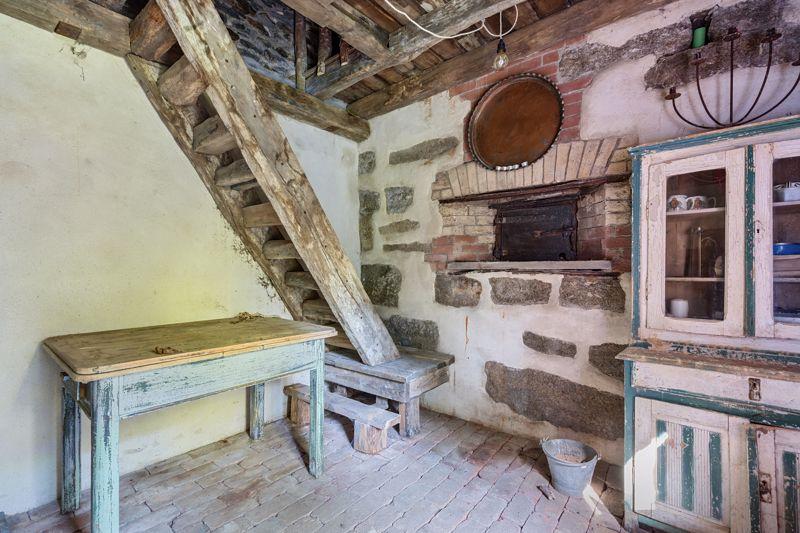
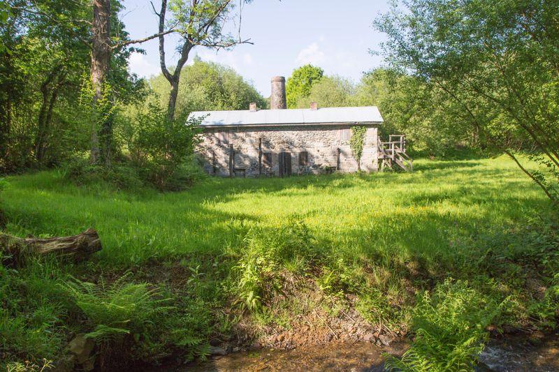
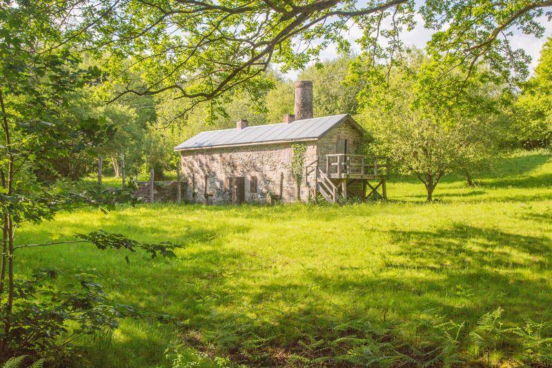
- Excellent Grade II listed Stone Burning House
- Former Mine Workings
- Ideal personal get away
- Dartmoor Location
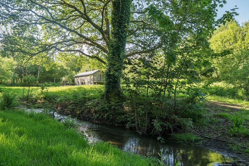
- Ponds and streams
Video tours
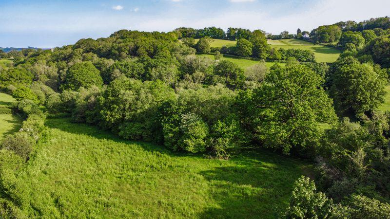
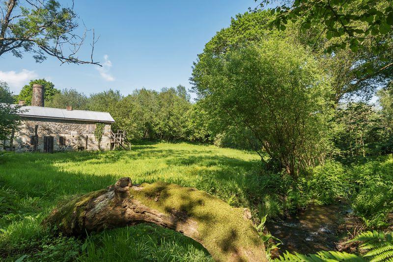
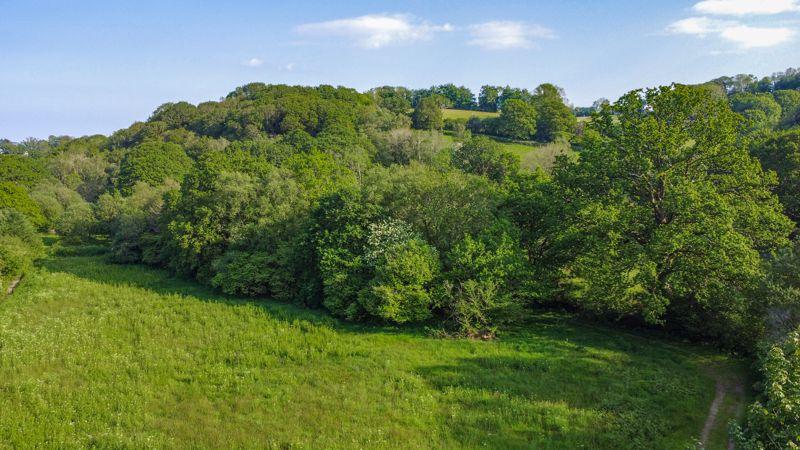
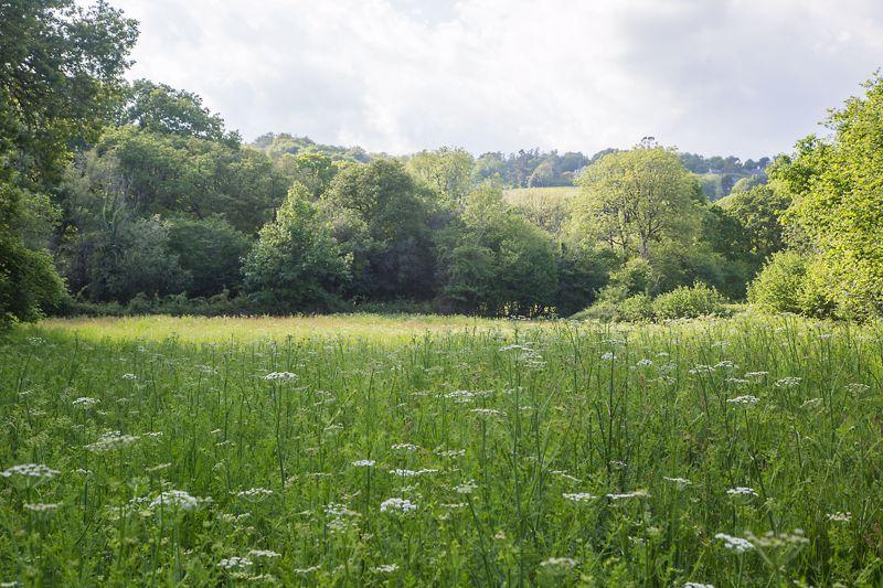
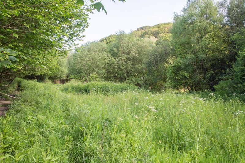
An idyllic and significant historic Dartmoor mining site with Grade II listed Burning House set amongst 10 acres of species rich meadow and woodland with both natural and channelled watercourses and a pond. An ideal site to enjoy nature at its finest.
Situation
Located only a short distance from the open moor the site offers a secluded and idyllic get-away surrounded by farmland and some woodland yet accessible via the country lanes which connect with Bovey Tracey and the A38 which are located approximately 5 miles to the East. Ilsington, a pretty Dartmoor village, is less than a mile away with is facilities whilst Haytor and the open expanse of Dartmoor offer walks and many other recreational activities.
Description
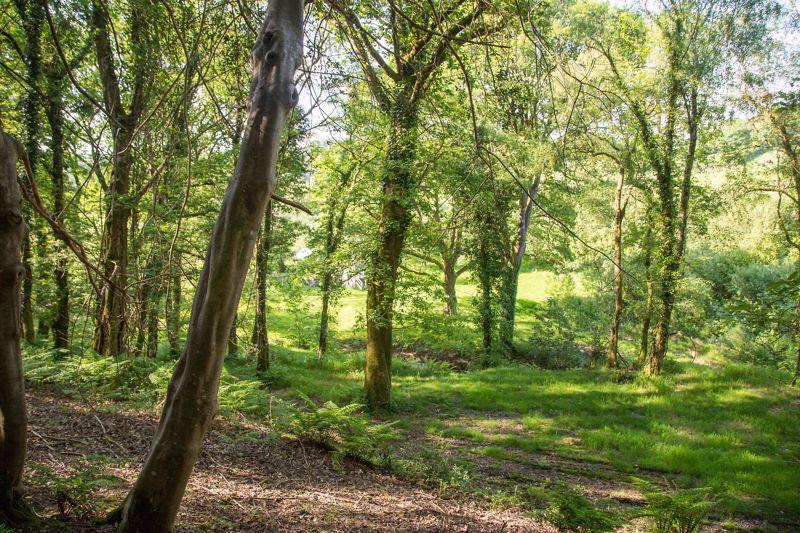
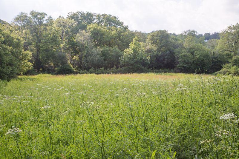
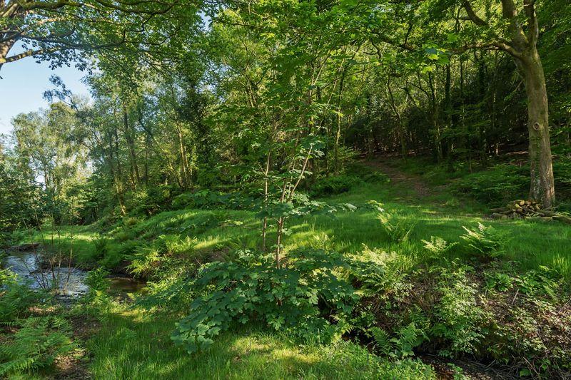
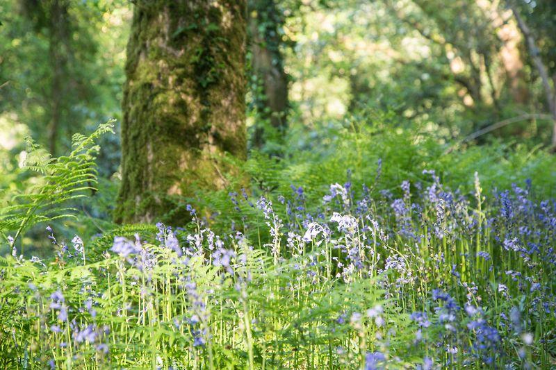
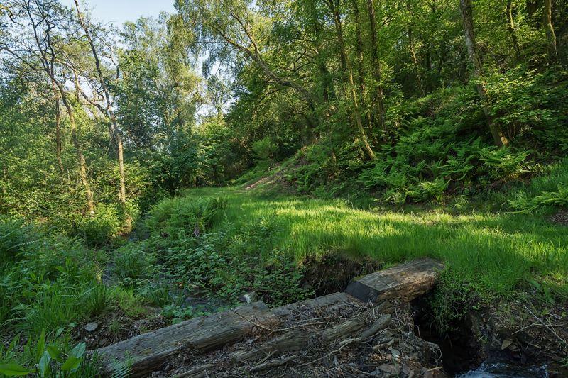
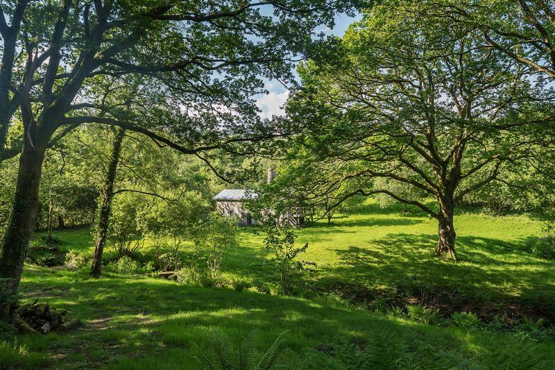
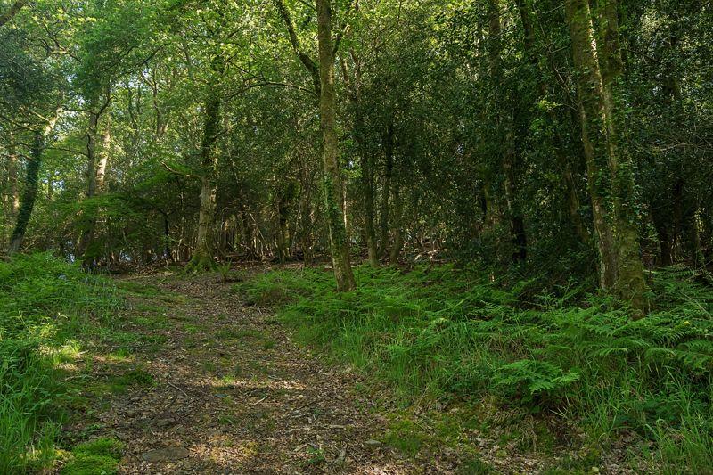
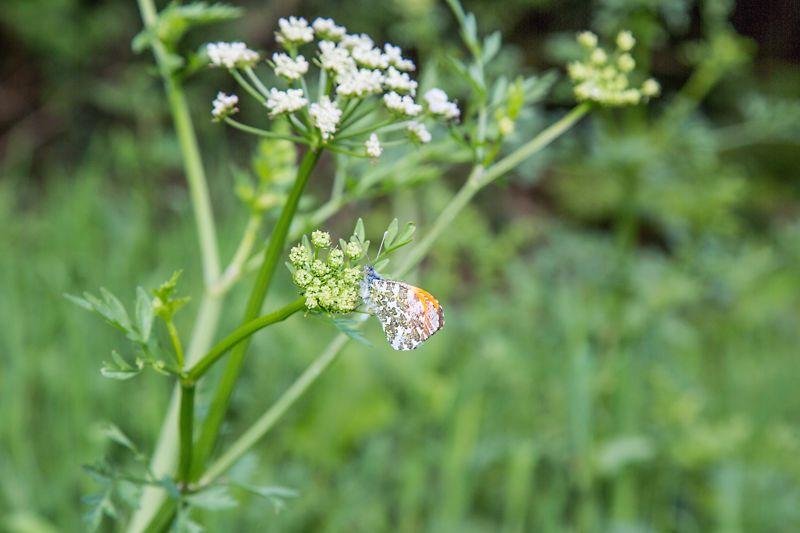
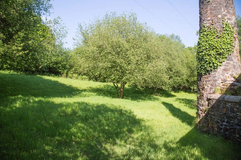
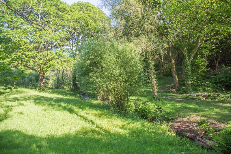
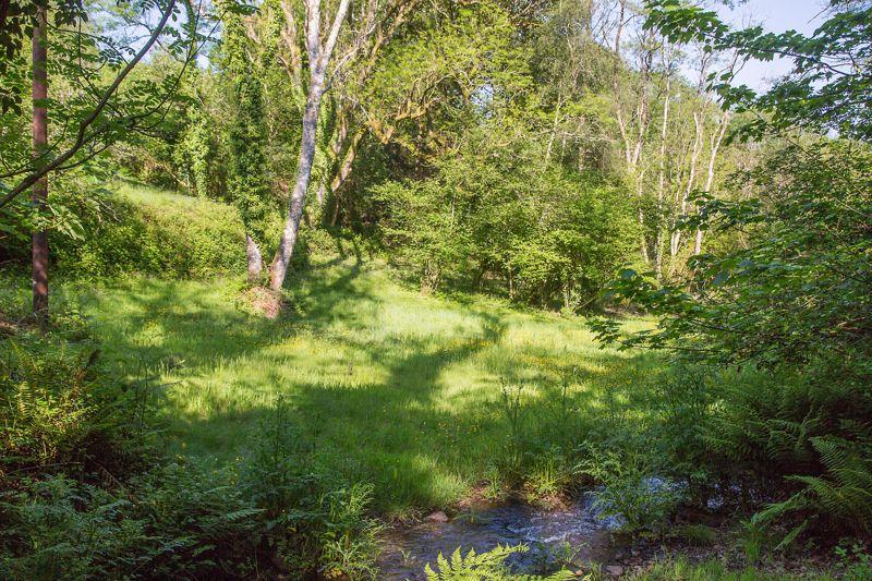
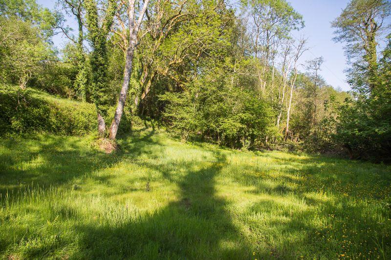
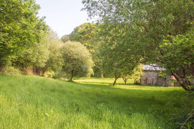
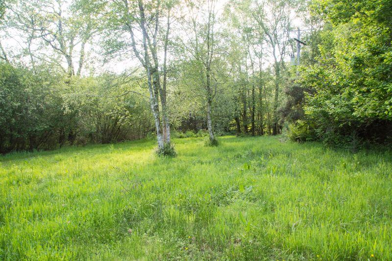
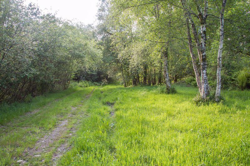
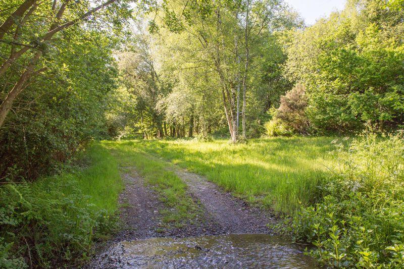
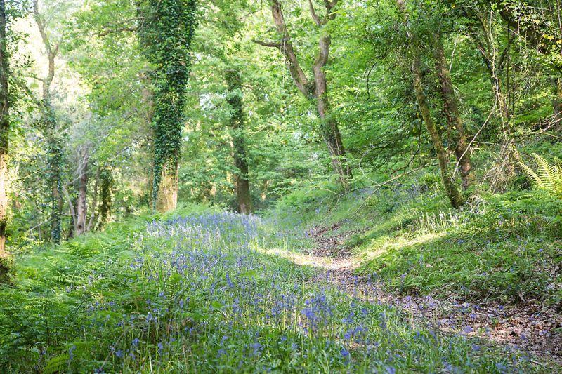
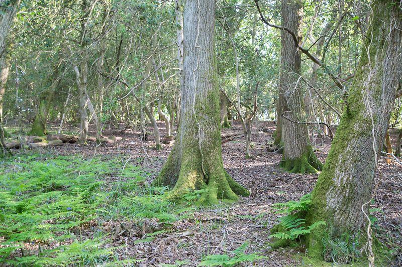
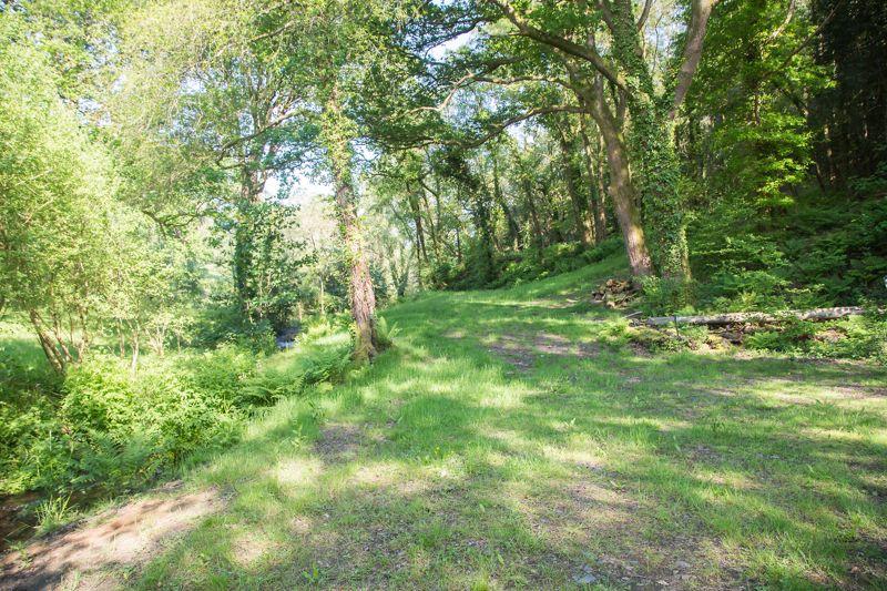
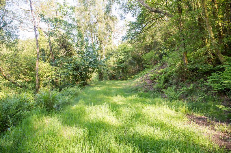
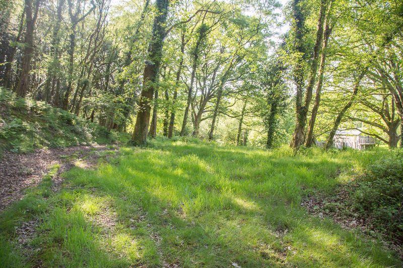
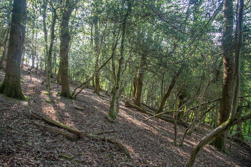
From the field gate the site leads into an open meadow and via a track onto mixed woodland and the Burning House itself. The meadow and woodland is a haven for wildlife and is considered to be an important niche habitat for many species of wild flowers including orchids. The woodland is known as Middlecott Wood and comprises a variety of trees including a number of large mature oaks which stand alongside the central flowing watercourse. The main woodland can be covered by a carpet of bluebells at the right time of year.
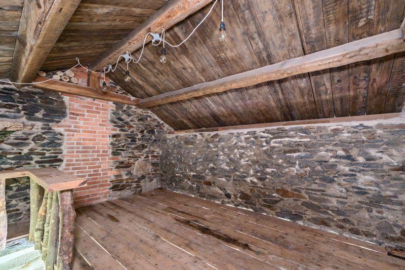
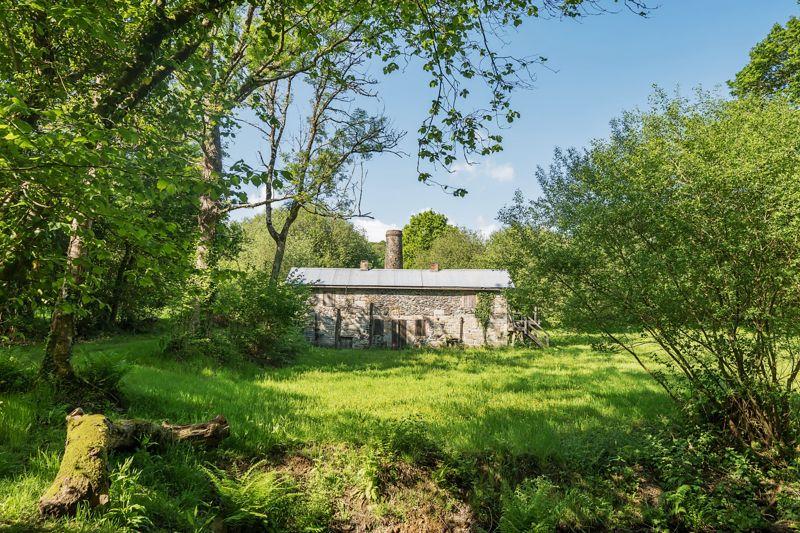
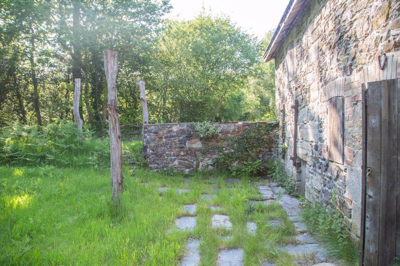
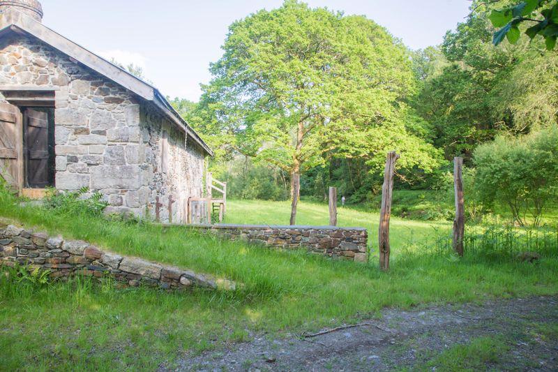
Nestled to the centre of the property is the Grade II listed Burning House which used to form part of the well known Atlas mine of Ilsington. It is one of the finest and well preserved examples of its kind in England. The building has been preserved and greatly improved by the current owners and comprises of a number of chambers which were former stores, drying pans, and burning chambers with the original stack rising to the rear.
Other notable features of this historic site include remains of a former aqueduct and launder mount, huge water wheel pit, a small disused quarry to the Southern boundary (from which Ilsington Church was built) and a number of channelled watercourses and pond.
Land
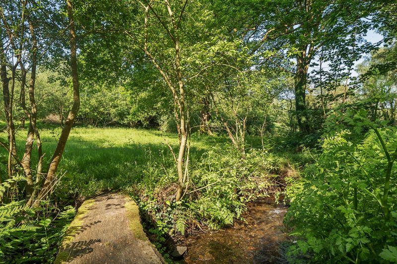
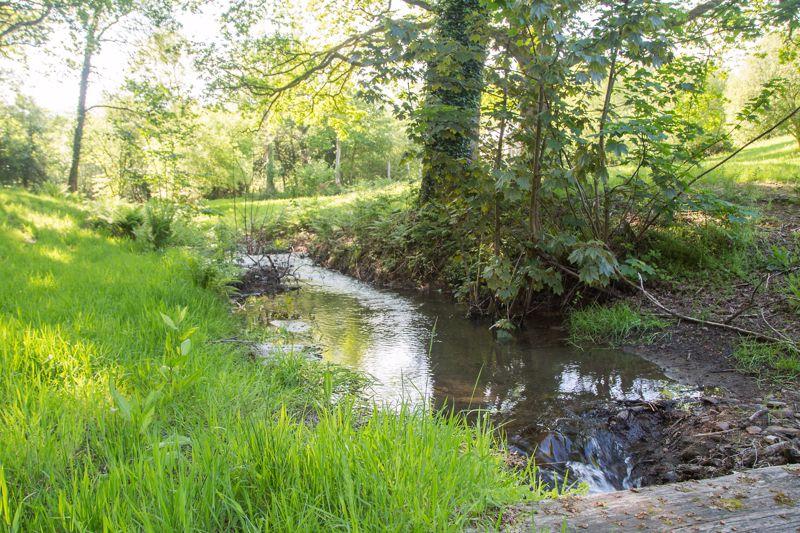
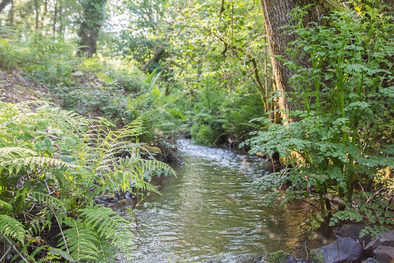
The land is comprised of pasture/grassland and mature deciduous woodland. The land to the North West of the property is predominately level and is wet grassland with some areas of rush. The remainder of the land is a mix of level areas, undulating and rising steeply in the woodland.The land is partially divided by Liverton Brook with several crossing place. In addition to this there are several natural water crossings traversing the land and a pond to the eastern side of the Burning House.
Field NumberDescription HectareAcreSX7876 0068Pasture 0.090.22SX7876 1256Pasture/Woodland1.89 4.66SX7876 2046Woodland 1.79 4.42SX7876 2062Woodland 0.53 1.31 Total4.30 10.61
Services
Mains electricity and mains water supply.
Local & Planning Authority
Dartmoor National Park, Parke , Bovey Tracey TQ13 9JQ—Tel[use Contact Agent Button]
Planning Information
2016—Application No 0277/16—Repairs including repointing and repairing wall, works to the roof and new joinery. Granted conditionally2016—Application No 0276/16—Construction of an earth house for holiday accommodation as enabling development and occasional welfare use by visiting groups, to support repair and restoration of Atlas Mine Burning House together with associated works. Application refused.
Environmental Information
As part of the 0276/16 planning application an extensive catalogue of documentation for the property including a historical survey as well as ecological, contamination, bat, meadow and water surveys were included. Due to the nature of the mining it is believed that the grounds have a high risk of contamination including arsenic.
Viewings
Strictly by appointment only through Rendells Estate Agents, [use Contact Agent Button]
Directions
From Bovey Tracey take the B3387 towards Haytor & Widecombe. Follow this for approx 2 miles keeping left on the B3387 and take the sharp left hand turn signposted Greenlane. Follow this and take the first lane on the right hand side. Continue past a house called West Wing and down the hill. The gate to the property will be found on the left hand side with a Rendells board.
What3words Location
///zoos.uptake.tribes
Tenure: Freehold
Property information from this agent
About this agent

Founded in 1816 Rendells remains committed to its traditional values but with a modern approach and is a long established firm of Chartered Surveyors and Estate Agents with a highly regarded reputation gained over nearly 200 years of working with Dartmoor and South Devon farmers, property and land owners by providing a personal service from its four offices in Newton Abbot , Chagford, Totnes and Ashburton that cover all aspects of property and land valuation, sales, auction and leasing together with a wide range of farming support services. Equally the partnership enjoys an international reputation for its Fine Art & Antique Sale Rooms in Ashburton where monthly 2 day sale comprising an average of 1,500 lots are held with antiques valuation services for sale, probate and insurance also coordinated from here.
Similar properties
Discover similar properties nearby in a single step.


