Land for sale
Key information
Features and description
LOCATION
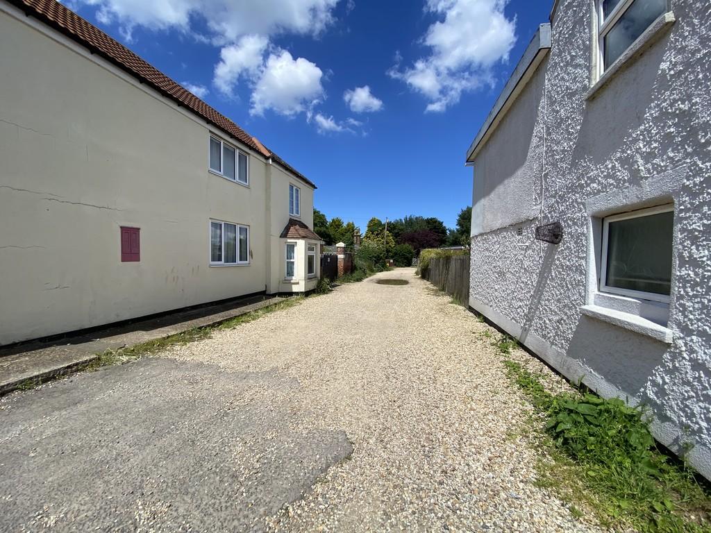
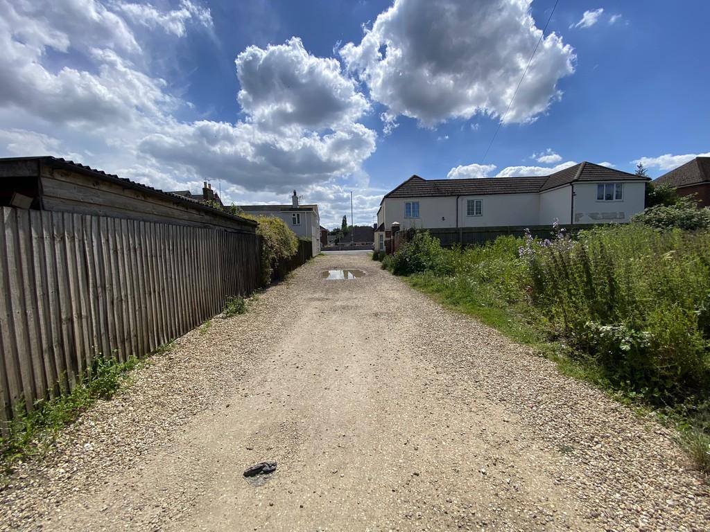
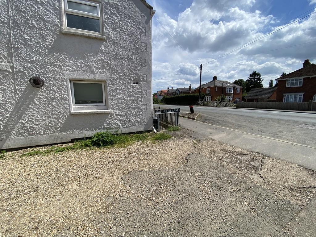
* Building Land - Total Plot Area Approximately 398m² - Full Planning Consent granted for 2 No. Dormer Style Two bedroom Semi Detached houses each with 2 parking spaces with existing access to Gas House Lane *
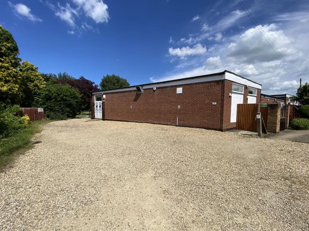
The land is located off Gas House Lane, Sutton Bridge. The land lies close to the centre of Sutton Bridge. Shopping facilities and further Secondary schools are located in the nearby town of Holbeach (7 miles).
Sutton Bridge lies just off the A17, giving good access to Kings Lynn (12 miles) and beyond to the north Norfolk coastal resorts. The A16 at Algakirk gives good access to Peterborough and onwards fast train journeys to London’s Kings Cross (within 50 minutes). Spalding station also connects to Peterborough to the south and Doncaster to the north.
DESCRIPTION
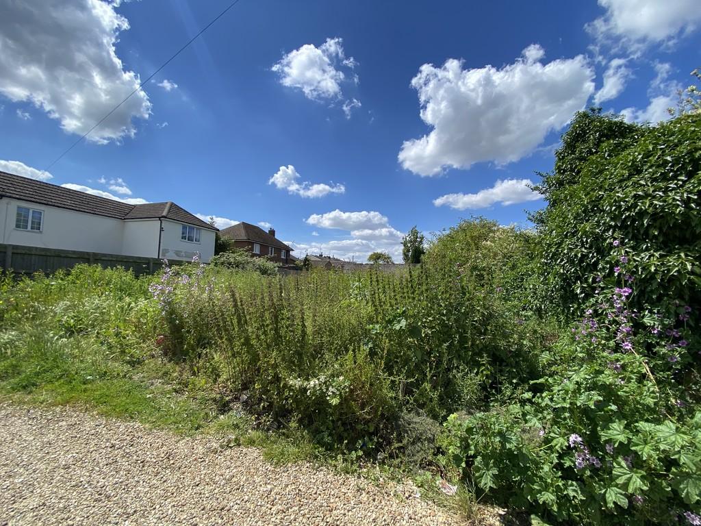
The plot is a relatively flat and level site extending to approximately 398m². It is shown edged red on the plan included in these Particulars (for identification purposes only).
There is a fence to the south and hedges to the northern and western boundaries.
The plot itself measures approximately 15m (frontage) x 26m (average depth).
It is understood that the built dwellings will be approximately 1m above existing ground level, and a retaining wall is required to be built around the sites south, west and north boundaries.
SERVICES
It is believed that mains electric, drainage and water are available in Gas House Lane. However, neither the Vendor nor the Agents make any guarantees as to the availability of services and interested parties must make their own enquiries direct with the service providers concerned as to the availability, practicality and cost of providing all necessary services to the site as required.
PLANNING
PLANNING CONSIDERATIONS
Full Planning Consent was granted by South Holland District Council - Reference No. H18-1174-22 dated 11/4/23 for the development of the site. There are a number of pre-commencement planning conditions which will be for the purchaser to satisfy
A copy of the formal Planning Consent is available from the Council’s website: or from the Agent’s Spalding Office. Included in these Particulars are copies of the plans determined in the Planning Application which show the consented design of the dwelling. Any queries in respect of planning matters should be addressed direct to the Planning Department at South Holland District Council - CALL:[use Contact Agent Button].
The purchaser will be responsible for compliance with all of the conditions of the granted Planning Consent.
INFORMATION PACK
Details of the following documents are available upon request: CALL:[use Contact Agent Button]
[use Contact Agent Button]
• Plans associated with the Planning Application
• Planning Consent
• Flood Risk Assessment
OTHER
Freehold with vacant possession upon completion.
SITE FEATURES
A high level wall is in situ, on the plot, laying just inside the west (rear) boundary.
The plot is relatively cleared and any further clearance of the land will be the responsibility of the purchaser.
District & Planning: South Holland District Council, Priory Road, Spalding, Lincs. PE11 2XE
CALL:[use Contact Agent Button]
Water & Sewerage: Anglian Water Customer Services, PO Box 10642, Harlow, Essex, CM20 9HA
CALL:[use Contact Agent Button]
County & Highways: Lincolnshire County Council, County Offices, Newland, Lincoln LN1 1YL
CALL:[use Contact Agent Button]
Electricity: Western Power Distribution - New Supplies - Customer Application Team,
Tollend Road, Tipton, DY4 0HH
[use Contact Agent Button]
CALL:[use Contact Agent Button]
VIEWING
The property can be viewed at any time with a copy of these particulars to hand.
NB: The site is uneven and parties view the site at their own risk. Neither the Vendor nor the Agents accept any liability for any damage to persons or property by virtue of viewing the site.
Property information from this agent
About this agent

Similar properties
Discover similar properties nearby in a single step.


