Woodland for sale
Key information
Features and description
- Tenure: Freehold
- Loch Duagrich Hill 429.40 Hectares / 1,061.05 Acres
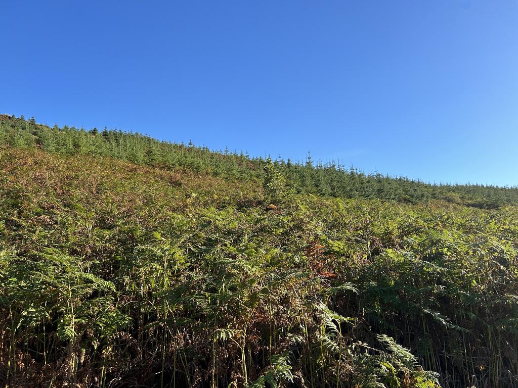
- Attractive mixed planting scheme extending to 125 hectares.
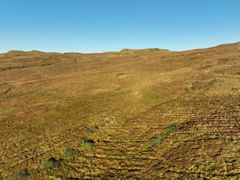
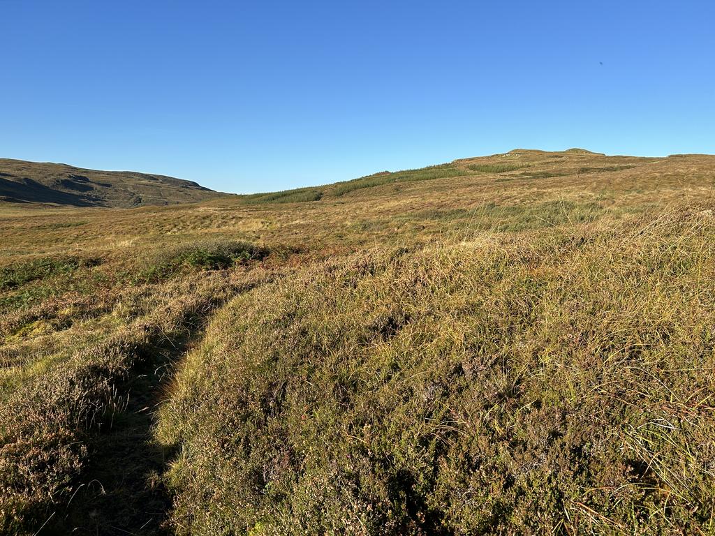
- 304 hectares of open hill which is rich in ecological diversity.
- Potential for peatland restoration and re wilding.
- Well suited for a cabin/hut.
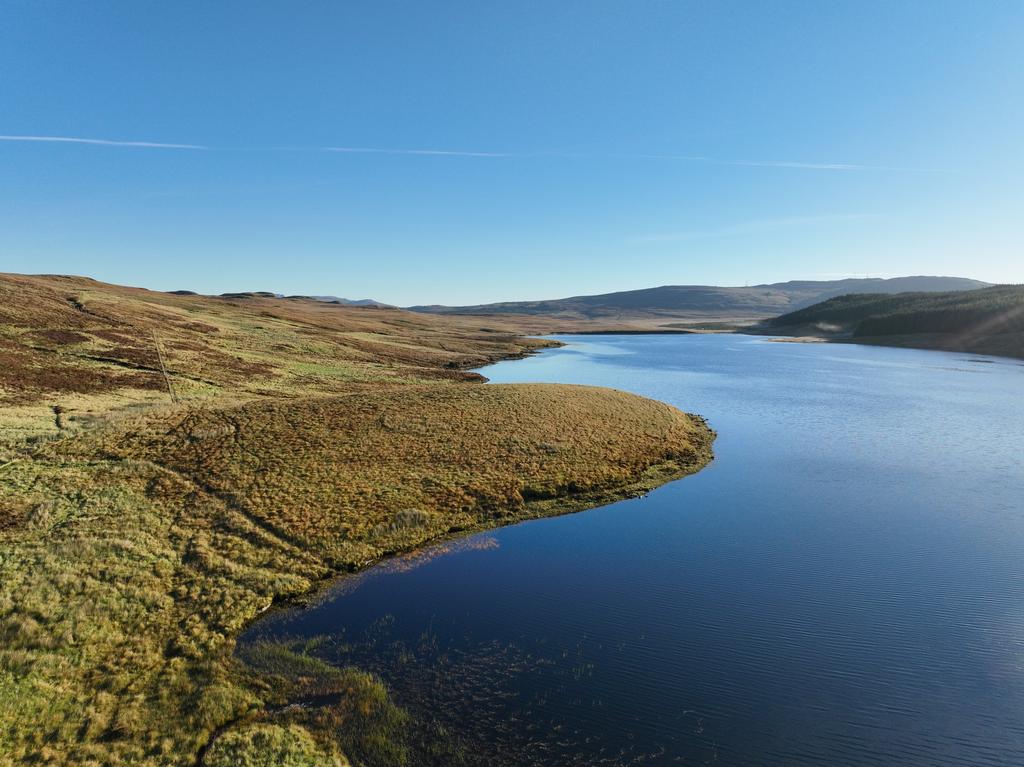
- Plentiful wildlife, amenity and stunning views
Video tours
Location
The Isle of Skye is the largest island in the Inner Hebrides, lying off the West Coast of Scotland. It is a spectacularly beautiful place and has been voted “Fourth Best Island in the World” by National Geographic Magazine. The landscape is diverse, with dramatic hills and mountains including the Cuillin Range, which has 12 Munros (peaks above 3,000ft /914m). There are sandy beaches and rivers forming world-class, impressive, and rugged landscapes. Loch Duagrich Hill is located on the western side of the Island, the main town, Portree, lies 8 miles to the east; Dunvegan some 10 miles to the north. The view out to sea over Loch Harport is hauntingly beautiful. The area is home to diverse wildlife, including Golden and Sea eagles, Red Throated divers, otters and Red deer. Close to the shore, porpoises, dolphins and Minke whales are often to be seen.
The property is shown on the location and sale plans and can also be found on 0S 1:50,000 sheet No.23 (North Skye), Grid Reference NG 390 405.
Access
Some 10 miles south of Dunvegan on the A863 or 12 miles north-west of Sligachan, also on the A863, the road loops round the head of Loch Harport, where the River Amar meets the sea.
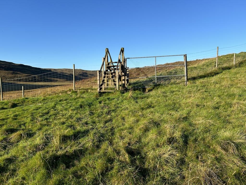
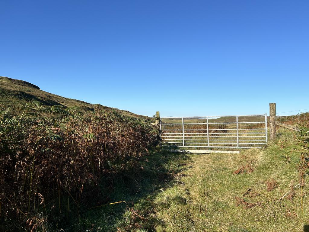
Here, a minor county road heads north-east, parallel to the Amar River towards a small settlement of houses known as Totardor on the edge of Glen Bracadale. At the end of this public road, there is a servitude right of access from A1-A2 on the attached sale plan. At A2 an access gate leads onto a rough 4×4 track which provides access around the south side of the hill to A3.
Description
Loch Duagrich Hill – 429.40 Hectares / 1,061.05 Acres
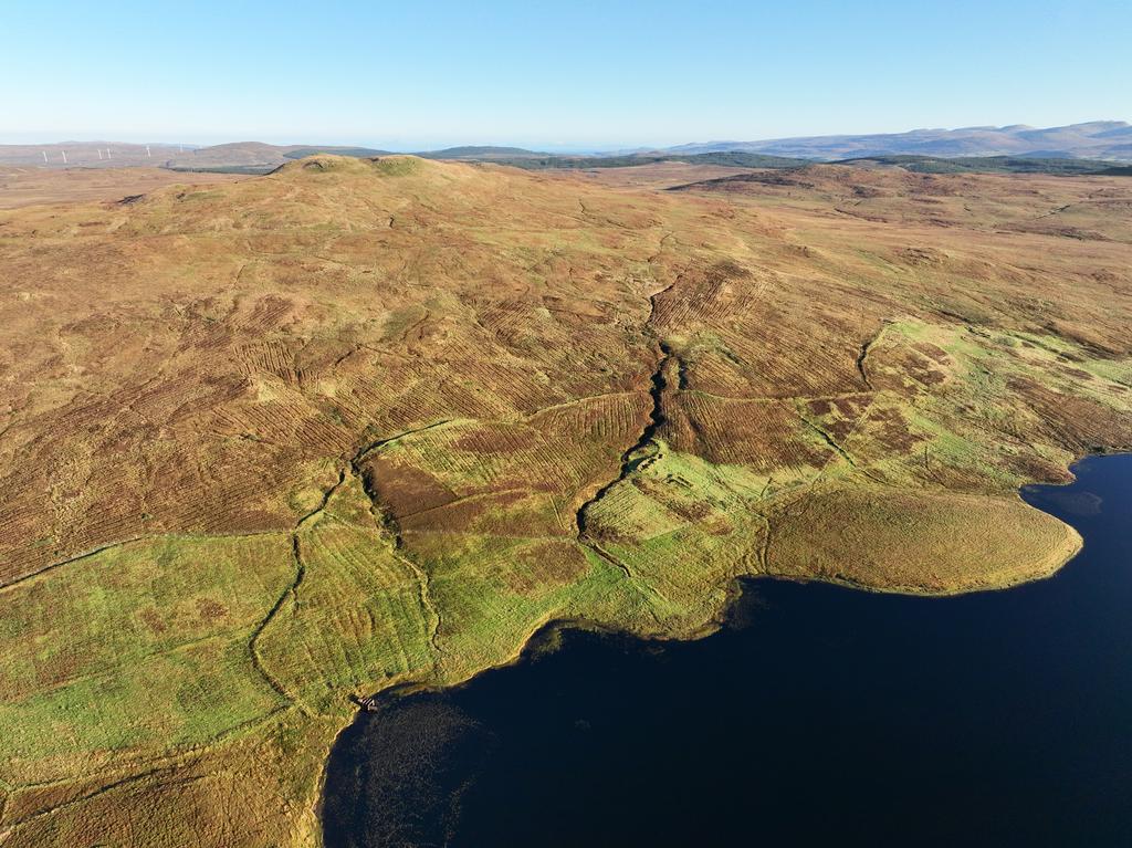
The stunning hill ground at Loch Duagrich rises from 100m above sea level to 267m at the highest point at Braon à Mheallain. The land is a mixture of mineral soils on gentle slopes, with areas of rocky outcrops interspersed with drifts of peat. On the eastern side, the land joins Loch Duagrich and riparian trout fishing rights go with the property. An old shepherd’s bothy lies adjacent to the track on the southern boundary which could be developed, subject to planning. There is currently an annual grazing agreement over some of the land to a local croft owner.
The rent is £2,500, this agreement could be continued, or the grazing could be taken back in hand.
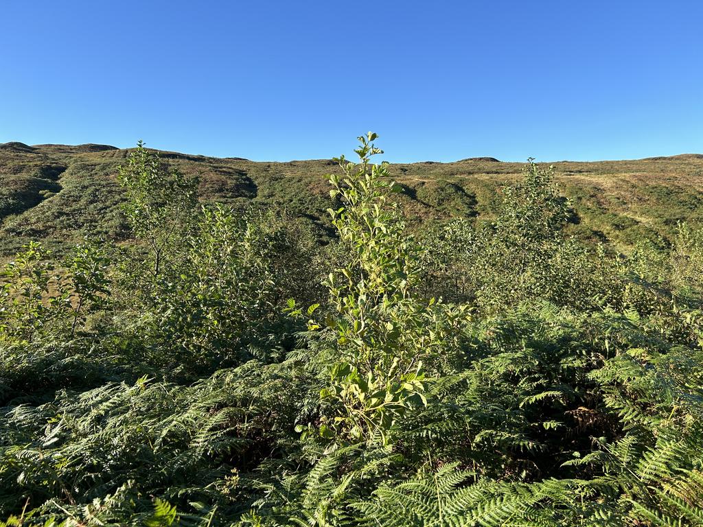
The woodland at Loch Duagruch was established in 2015 under a Scottish Rural Development Contract with predominantly Native broadleaves, Sitka spruce and some Mixed conifers. The forest managers have undertaken beat up work earlier this year. There are no further planting grants available from this scheme. The woodland planting is registered with the Woodland Carbon Code and has produced 39,097 Pending Issuance Units which have been sold to a 3rd party and are not included in the sale. There may be further carbon credit generation available from peatland restoration on the site. A summary of the crop composition is shown below, and more information is available from the Selling Agents upon request.
Designations
There are no designations of note. The property will be sold as per the Title.
Sporting Rights
Sporting rights are included with vacant possession. The fishing within Loch Duagrich is for Wild Brown trout, with the season running from 15 March to 30 September. No records have been kept but the Loch produces exciting sport. There also Red deer in the area which make for challenging stalking.
Wind Energy/Development Clawback Clause
The sale is subject to the purchaser entering into a clawback agreement with the seller in respect of any future windfarm development. The Agreement will require the purchaser to pay 25% of income derived from any windfarm development (excluding any timber compensation payments) for a period of 25 years from the date of commissioning of the development relative to any planning permission that is secured within a 15-year period from the date of sale. The Purchaser shall grant in favour of the Seller a first ranking standard security over the property to secure the clawback obligations.
Grants & Management
As previously mentioned, the forestry was planted under a Rural Development Contract and there is also an obligation to maintain the trees as per the Woodland Carbon contract.
Property information from this agent
About this agent


