Offers over
£3,300,000Land for sale
St. Catherines Forest, Cairndow, Cowal Peninsula, Argyll & Bute, PA25
Featured
Virtual tour
Land
552.14 acre(s)
Key information
Tenure: Freehold
Council tax: Ask agent
Features and description
- Tenure: Freehold
- Primary species Sitka spruce
- Mixed age, with strong growth in second rotation crops
- Productive timber area 140.58 hectares (63%)
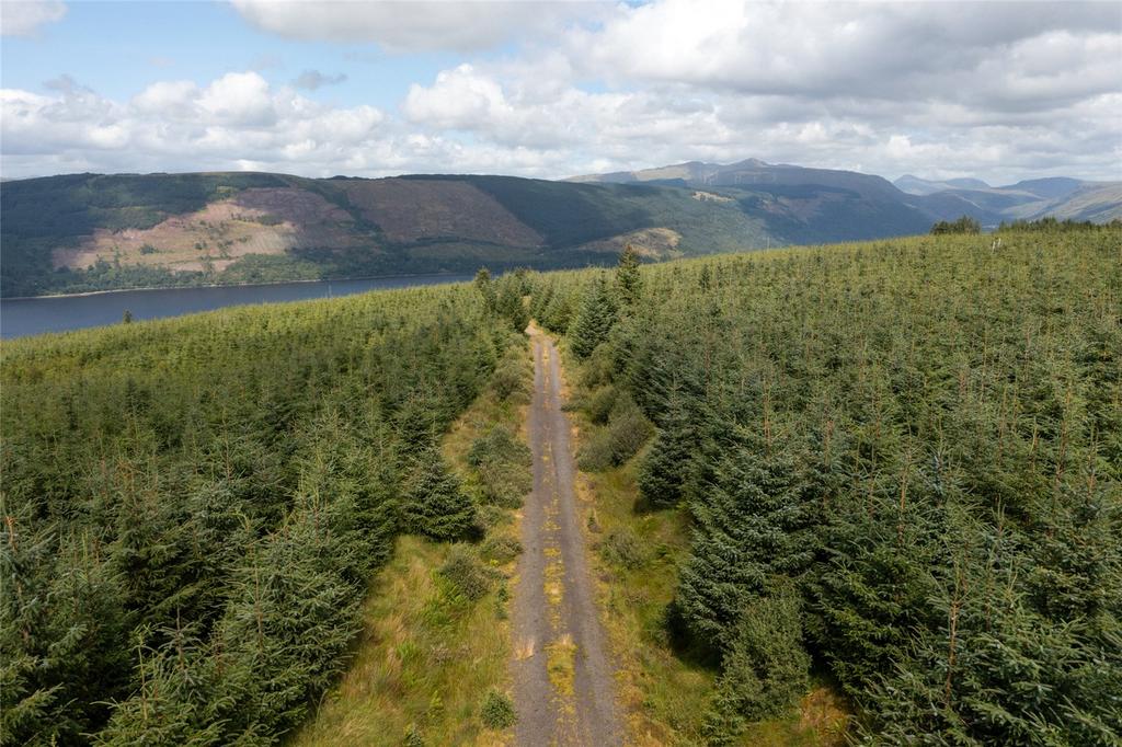
- Internal road network with direct access onto ‘A’ road
- Attractive intermittent broadleaves including 3.7ha stand of mature oak dating back to 1850
- Open ground providing biodiverse habitat for a wide range of wildlife
- About 223 hectares (552 acres) in total
- For sale as a whole
Video tours
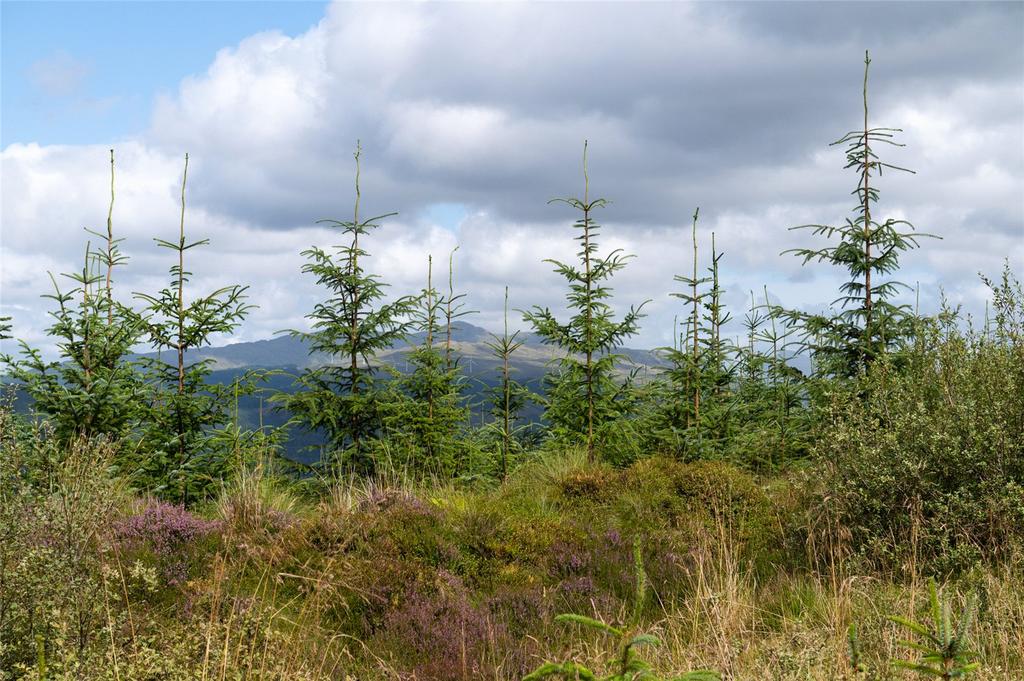
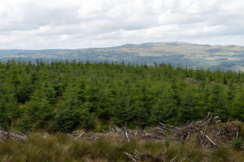
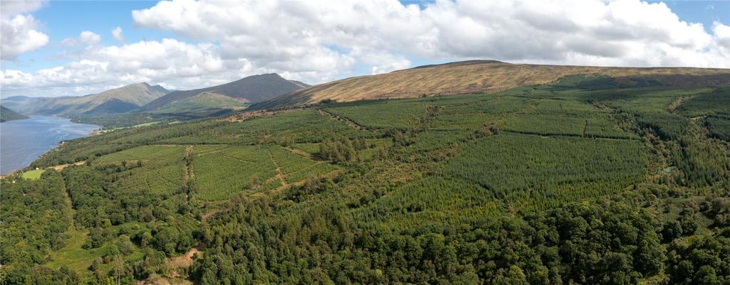
A restructured commercial forest showing excellent growth in second rotation crops
Description
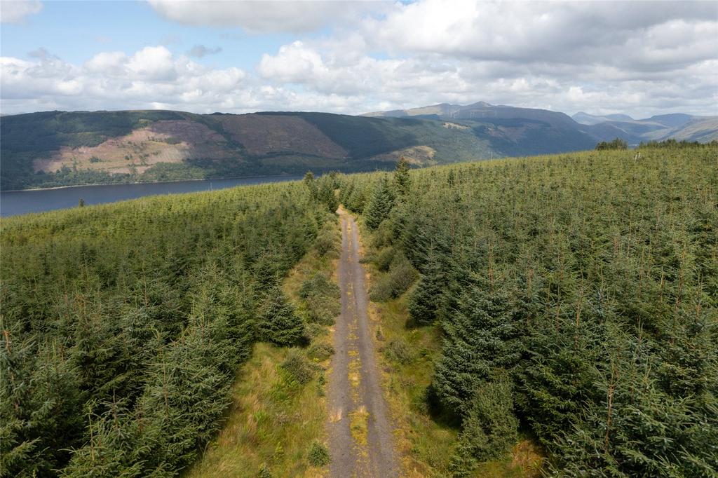
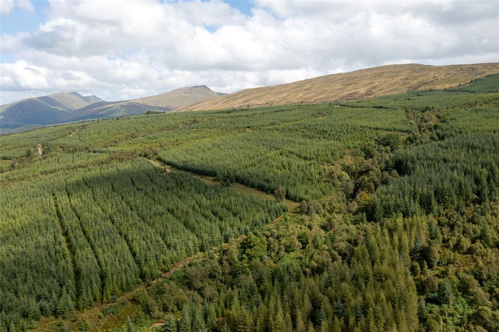
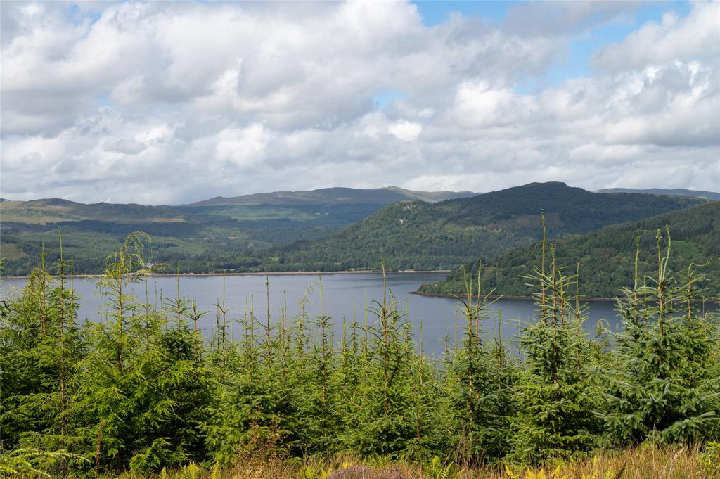
The forest extends to 223 hectares planted on a coastal hillside. The lowest point is 10m asl, rising to 390m asl on the southern boundary. The site was originally planted with mixed conifers in the 1960s and 1970s but has been substantially restructured over the last decade, with felling and replanting carried out in phases between 2013 and 2019.
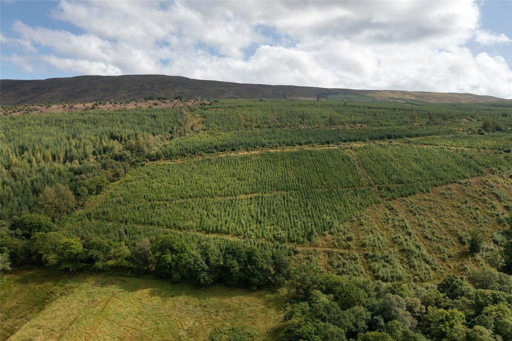
The current productive timber area is 140.58ha (63%). The recent commercial re-stocking is mainly Sitka spruce, which comprises 86% of the commercial crop area. There are pockets of mixed conifers including some Douglas fir. The young crop has been well managed and is exhibiting good tree form and growth rates. Owing to its young age, Yield Class has not yet been assessed. Some old Japanese larch planted in the 1860s has been retained.
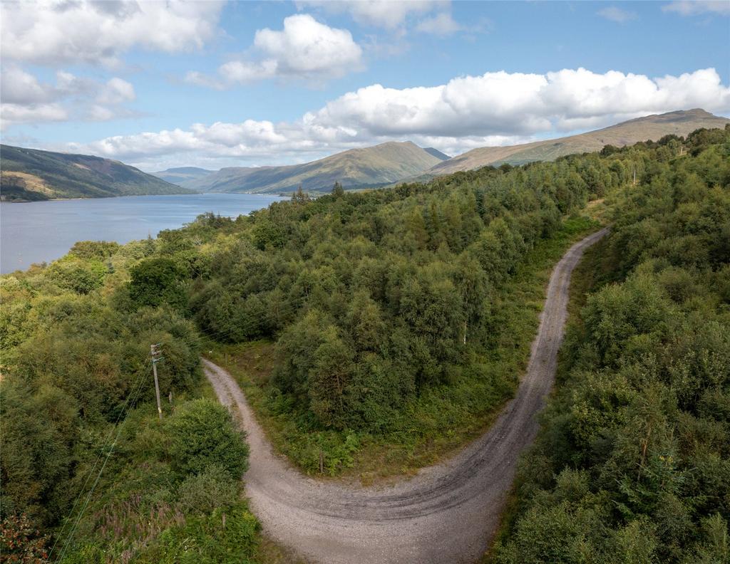
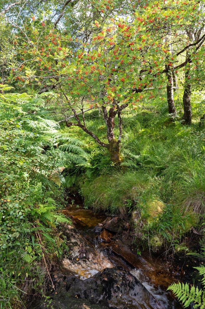
The property includes areas of native broadleaves, principally following watercourses, but to greatest extent along the northern boundary. While some has been planted within the last 20 years, there is a sizeable (3.7ha) stand of mature oak dating back to 1850. In total, the 23.53ha of native broadleaves add to the species diversity and amenity across the site. This forest design species mix is compliant with the UK Forest Standard.
The forest includes 59ha of open ground, half of which comprises areas within the forest and around watercourses, and half of which is a block of unplanted hill land at the southern end of the property. Both areas add to habitat diversity and provide useful areas for deer control, the latter being through a stalking lease.
The site is accessed directly from the A815, which is an approved route for timber haulage. The road within the forest is in good condition.
Acreage: 552.14495 Acres
Directions
Due to the possibility of forest operations and deer management within the forest, viewing is strictly by prior arrangement only. The entrance gate is locked for vehicular access and the code can be obtained from the Selling Agent. Given the potential hazards of a rural site, we would ask you to be aware of potential risks when viewing.
Access off the public road is from the following point:
what3words: drove.scanner.costumed
Grid reference: NN131079
Nearest Postcode: PA25 8BB
From the A83 south of Cairndow, follow the A815 south towards Strachur. The access road to the property is on the left after about four miles, opposite the sign for Ard Slaite. The padlocked gate is approximately 600m along the forest road with an area for parking located approximately 250m further on.
About this agent

Savills Perth serves an area of 2,000 square miles, but despite this huge patch, we don’t spread ourselves thinly. The breadth of our services and the depth of our expertise mean that everything we do can be carefully targeted to maximise the market.Whether we’re dealing with family homes, weekend bolt-holes or prime farmland, we’ve got the teams and the knowledge to get the best possible results for clients and applicants.


